Street Names · 20th Century
Engbachstraße


© GeoBasis-DE / LVermGeoRP, dl-de/by-2-0
There is no picture of this object yet. Do you have a photo that you would like to make available to the Kulturdatenbank? Submit a picture
Description
This description is only available in German.
Translate with Google opens this page in Google Translate (external service)
Die Straße verläuft parallel zum Engbach (mundartlich Kuhbach). Der Engbach durchfließt ein enges Wiesental. [1]
Classification
- Subject area
- History
- Category
- Place Names / Local History
- Object type
- Street Names
- Date
- 1965
- Period
- 20th Century
Location
- District
- Trier-Saarburg
- Collective municipality
- Hermeskeil
- Municipality
- Gusenburg
- Street
- Engbachstraße
- Field name
- Ortslage
- Coordinates
- WGS 84: 49.633260, 6.904420 (Position: exact) WGS 84: 49° 37′ 59.7″ N, 6° 54′ 15.9″ E UTM 32 (ETRS89): E 348682 · N 5499965
Sources
Data sources
On the internet
Last edited: 11 Dec 2015 Object ID: 40390
https://kulturdb.de/en/objekt/40390-gusenburg-engbachstrasse
Nearby
The nearest objects
Street Names
Lindenbornstraße
Street Names
Zum Kreuzbaum
Field Names
Unterm Ziehrech
Street Names
Bierfelderstraße
Street Names
Hüllenburg
 170 m
Catholic Churches
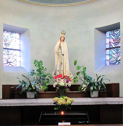
Kirche Erscheinung des Herrn - Innenausstattung
War Memorials
Friedhofskreuz
Street Names