Rocks · Undated
Felsen westlich des unteren Lohrbachtals
- Listed monument


Description
This description is only available in German.
Translate with Google opens this page in Google Translate (external service)
Natürlicher Silikatfels. Schutzstatus: Schutz zur Erhaltung von Lebensgemeinschaften. Biotoptypen der gesetzlich geschützten Biotope. [1]
Classification
- Subject area
- Natural Features
- Category
- Rocks
- Date
- Undatiert
- Period
- Undated
Location
- District
- Trier-Saarburg
- Collective municipality
- Trier-Land
- Municipality
- Kordel
- Field name
- Hinter Fitscherheld
- Coordinates
- WGS 84: 49.825760, 6.662660 (Position: exact) WGS 84: 49° 49′ 32.7″ N, 6° 39′ 45.6″ E UTM 32 (ETRS89): E 331893 · N 5521879
Sources
Data sources
On the internet
map.naturschutz.rlp.de/cocoon/osiris/html/7660100?GISPADID=1616081
Picture credits
Last edited: 28 Dec 2015 Object ID: 40449
https://kulturdb.de/en/objekt/40449-kordel-felsen-westlich-des-unteren-lohrbachtals
Nearby
The nearest objects
No picture
20 m
Rocks
Felsen westlich des unteren Lohrbachtals
No picture
40 m
Rocks
Felsen westlich des unteren Lohrbachtals
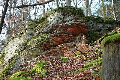 40 m
Rocks
Felsen westlich des unteren Lohrbachtals
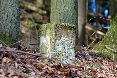 60 m
Surveying
Markstein im Lohrbachtal
 210 m
Rocks
Felsen unter der Fitscherheldkanzel
 330 m
Charcoal Kilns
Ehemaliger Meilerplatz
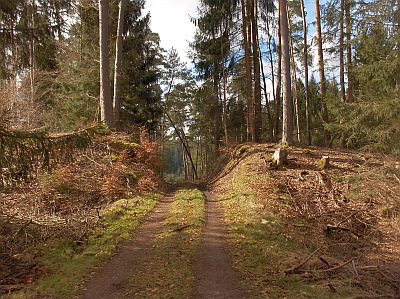 360 m
Spur Castles
Wallanlage Auf Soels
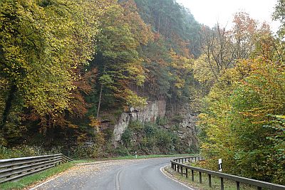 450 m
Rocks