Rocks · Undated
Buntsandstein Gesteinsschichten
Naturdenkmal
- Listed monument


Description
This description is only available in German.
Translate with Google opens this page in Google Translate (external service)
An der Lohrbacher-Brücke im Kylltal. [1]
Classification
- Subject area
- Natural Features
- Category
- Rocks
- Date
- Undatiert
- Period
- Undated
Location
- District
- City of Trier
- Collective municipality
- Verbandsfreie Gemeinde Trier
- Town
- Trier
- Locality / location
- Ehrang-Quint
- Field name
- Ehranger Wald
- Coordinates
- WGS 84: 49.821870, 6.660775 (Position: exact) WGS 84: 49° 49′ 18.7″ N, 6° 39′ 38.8″ E UTM 32 (ETRS89): E 331744 · N 5521451
Sources
Data sources
- [1] GeoPortal des Landes Rheinland-Pfalz. Http://www.geoportal.rlp.de/
On the internet
Picture credits
Last edited: 31 Oct 2016 Object ID: 4870
https://kulturdb.de/en/objekt/4870-trier-buntsandstein-gesteinsschichten
Nearby
The nearest objects
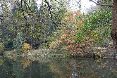 70 m
Field Names
Auf der Cutwies
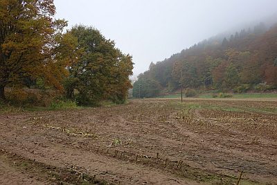 250 m
Field Names
In den Lorbachsfeldern
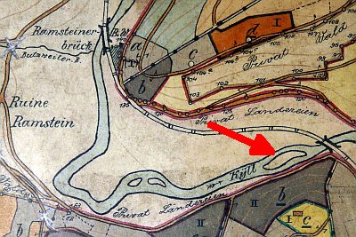 280 m
Field Names
Ehemalige Kyll-Insel auf der Laufbach
No picture
330 m
Fountains and Wells
Zackfeld-Brunnen
No picture
340 m
Field Names
Auf Zackfeld
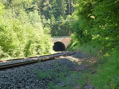 400 m
Railways
Kuckuckslay-Tunnel - Nordportal
No picture
420 m
Rocks
Felsen westlich des unteren Lohrbachtals
 430 m
Fountains and Wells