Wayside Shrines and Stations of the Cross · Renaissance
Kreuz an der Linde


Description
This description is only available in German.
Translate with Google opens this page in Google Translate (external service)
Dieses einfache Kreuz, ohne Schaft, mit doppeltem Sockelstein, steht am Aufgang zur Schule, unter einer mächtigen Linde. Diese Linde war der Ruhepunkt im Ort. Allabendlich kam man dort zusammen und es wurde gesungen und erzählt. Bis 1900 wurde auch dort noch der Fronleichnamssegen gegeben. Der untere Sockelstein dürfte ein Findling sein. Das Abschlußkreuz mit Kreuzschild und verstümmeltem Corpus. Darunter die Buchstaben S Meter V Bundesstraße (letzte Buchstaben V Bundesstraße = von Berndorf). 1,40 Meter hoch.
Classification
- Subject area
- Architectural and Art Monuments
- Category
- Religious Buildings
- Object type
- Wayside Shrines and Stations of the Cross
- Date
- Um 1700
- Period
- Renaissance
Location
- District
- Vulkaneifel
- Collective municipality
- Gerolstein
- Municipality
- Berndorf
- Street
- Lindenstraße 1
- Field name
- Ortslage
- Coordinates
- WGS 84: 50.306761, 6.698898 (Position: exact) WGS 84: 50° 18′ 24.3″ N, 6° 41′ 56.0″ E UTM 32 (ETRS89): E 336147 · N 5575271
Sources
Data sources
- Homepage der Gemeinde Berndorf http://www.berndorf-vulkaneifel.de/
On the internet
Picture credits
Last edited: 18 May 2010 Object ID: 4055
https://kulturdb.de/en/objekt/4055-berndorf-kreuz-an-der-linde
Nearby
The nearest objects
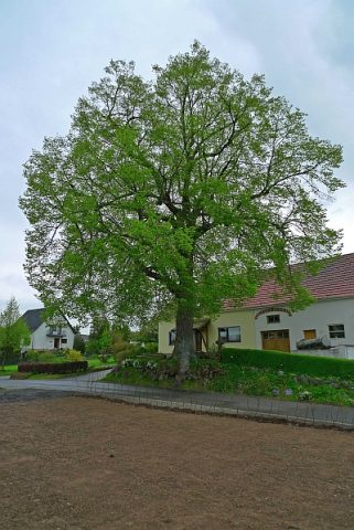 less than 10 m
Lime Trees
Linde in der Lindenstraße
Farmhouses and Farm Buildings
Bauernhaus
Wayside Shrines and Stations of the Cross
Wegekreuz
Farmhouses and Farm Buildings
Wohnhaus
Field Names
Auf Käulchespesch
Wayside Shrines and Stations of the Cross
Kreuz auf dem Kirchberg
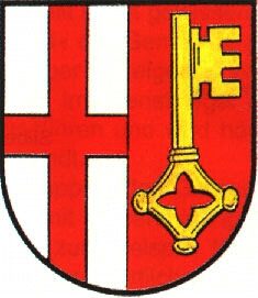 210 m
Coats of Arms
Wappen der Gemeinde Berndorf
Place Names / Local History