Lime Trees · 20th Century
Linde
- Listed monument


© GeoBasis-DE / LVermGeoRP, dl-de/by-2-0
There is no picture of this object yet. Do you have a photo that you would like to make available to the Kulturdatenbank? Submit a picture
Description
This description is only available in German.
Translate with Google opens this page in Google Translate (external service)
Tilia var.
Stammumfang: 3,54 m
Höhe: 20, 0 m
Geschätztes Alter bei Unterschutzstellung: 300 Jahre
Classification
- Subject area
- Natural Features
- Category
- Trees
- Object type
- Lime Trees
- Date
- 21.01.1948 [Unterschutzstellung]
- Period
- 20th Century
Location
- District
- Vulkaneifel
- Collective municipality
- Gerolstein
- Municipality
- Oberehe-Stroheich
- Locality / location
- Stroheich
- Field name
- Ortslage
- Coordinates
- WGS 84: 50.285264, 6.754117 (Position: exact) WGS 84: 50° 17′ 07.0″ N, 6° 45′ 14.8″ E UTM 32 (ETRS89): E 340006 · N 5572761
Sources
Data sources
- Rita Gehendges: Naturdenkmale des Landkreises Daun. 1985. Hrsg.: Landkreis Daun.
On the internet
Last edited: 21 Feb 2012 Object ID: 4066
https://kulturdb.de/en/objekt/4066-oberehe-stroheich-linde
Nearby
The nearest objects
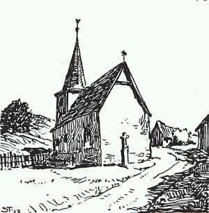 10 m
Catholic Churches
Sankt Agatha
Farmhouses and Farm Buildings
Eifeler Kniestockhaus Lindenplatz 1
Farmhouses and Farm Buildings
Trierer Haus
Farmhouses and Farm Buildings
Trierer Haus
Chapels
Kapelle
Field Names
Auf der Wolfskaul
Field Names
Im Herrnwillpesch
Field Names