Place Names / Local History · Gothic
Ortsgeschichte Dohm-Lammersdorf


© GeoBasis-DE / LVermGeoRP, dl-de/by-2-0
There is no picture of this object yet. Do you have a photo that you would like to make available to the Kulturdatenbank? Submit a picture
Description
This description is only available in German.
Translate with Google opens this page in Google Translate (external service)
In der Feudalzeit bildeten die beiden Orte eine luxemburgische Unterherrschaft und gehörten zur Herrschaft Densborn. Zehntpflichtig waren die Orte der Abtei Prüm. Während der französischen Verwaltung bildete Dohm zusammen mit Lammersdorf die Mairie Dohm im Kanton Dudeldorf im Bezirk Bitburg im Wälderdepartement. In Preußischer Zeit gehörten die Orte zur Bürgermeisterei Hillesheim.
Classification
- Subject area
- History
- Category
- Place Names / Local History
- Date
- Circa 1100 bis circa 1500
- Period
- Gothic
Location
- District
- Vulkaneifel
- Collective municipality
- Gerolstein
- Municipality
- Dohm-Lammersdorf
- Field name
- Ortslage
- Coordinates
- WGS 84: 50.264897, 6.667135 (Position: within the village) WGS 84: 50° 15′ 53.6″ N, 6° 40′ 01.7″ E UTM 32 (ETRS89): E 333739 · N 5570687
Sources
Data sources
- © Marzellus Boos http://www.eifeltour.de/
On the internet
Last edited: 11 Feb 2002 Object ID: 4073
https://kulturdb.de/en/objekt/4073-dohm-lammersdorf-ortsgeschichte-dohm-lammersdorf
Nearby
The nearest objects
Field Names
Auf dem Borredriesch
Field Names
Im Kälberpesch
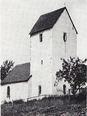 250 m
Catholic Churches
Sankt Lukas
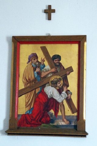 250 m
Wayside Shrines and Stations of the Cross
Sankt Lukas - Kreuzweg (1)
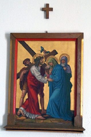 250 m
Wayside Shrines and Stations of the Cross
Sankt Lukas - Kreuzweg (2)
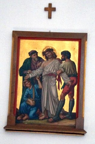 250 m
Wayside Shrines and Stations of the Cross
Sankt Lukas - Kreuzweg (3)
Prisons
Ehemaliges Kriegsgefangenenlager
Field Names