Field Names · Undated
Hinter der Sandkaul


© GeoBasis-DE / LVermGeoRP, dl-de/by-2-0
There is no picture of this object yet. Do you have a photo that you would like to make available to the Kulturdatenbank? Submit a picture
Description
This description is only available in German.
Translate with Google opens this page in Google Translate (external service)
Kaul = Kuhle, Vertiefung, Grube. Sandkaul = Sandgrube. [1]
Classification
- Subject area
- History
- Category
- Field Names
- Date
- Undatiert
- Period
- Undated
Location
- District
- Vulkaneifel
- Collective municipality
- Gerolstein
- Town
- Hillesheim
- Locality / location
- Am Liehr
- Field name
- Hinter der Sandkaul
- Coordinates
- WGS 84: 50.279443, 6.675756 (Position: exact) WGS 84: 50° 16′ 46.0″ N, 6° 40′ 32.7″ E UTM 32 (ETRS89): E 334404 · N 5572285
Sources
Data sources
On the internet
Last edited: 3 Mar 2016 Object ID: 40739
https://kulturdb.de/en/objekt/40739-hillesheim-hinter-der-sandkaul
Nearby
The nearest objects
 200 m
Dry Maars
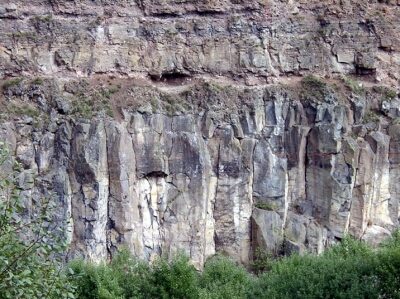
Kesseltal Am Lier (Lierwiesenmaar)
Extraction and Processing of Raw Materials
Basaltabbau
Field Names
Hinter der Sandkaul
Volcanoes
Vulkan Grauley
 380 m
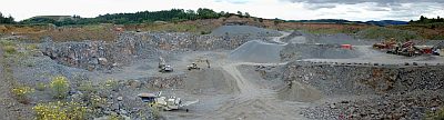
Extraction and Processing of Raw Materials
Lavatagebau Grauley
Extraction and Processing of Raw Materials
Mühlsteinbruch Koksley-Lierswiese
Viewpoints
Aussichtspunkt Kyller Höhe
Volcanoes