Street Names · Neoclassicism
Schloof


Description
This description is only available in German.
Translate with Google opens this page in Google Translate (external service)
Alter Fußweg im Zweikerndorf Schalkenmehren, zwischen dem alten Dorfkern am Schalkenmehrener Bach und dem südlichen Dorfkern am Weinbach. Schloof (moselfränkisch = enger,schmaler Durchgang) führt durch kleine Gartenparzellen. [1]
Classification
- Subject area
- History
- Category
- Place Names / Local History
- Object type
- Street Names
- Date
- 1822
- Period
- Neoclassicism
Location
- District
- Vulkaneifel
- Collective municipality
- Daun
- Municipality
- Schalkenmehren
- Field name
- Auf dem Haargarten
- Coordinates
- WGS 84: 50.165080, 6.859970 (Position: exact) WGS 84: 50° 09′ 54.3″ N, 6° 51′ 35.9″ E UTM 32 (ETRS89): E 347162 · N 5559178
Sources
Data sources
- [1] Hartmut Flothmann: Historische,naturkundliche und historische Streifzüge.
- [2] Historische Flurkarte von 1822. LHA Koblenz-Best.732 Nr.250 Bl.83-2011.
On the internet
Picture credits
Last edited: 20 Mar 2016 Object ID: 40748
https://kulturdb.de/en/objekt/40748-schalkenmehren-schloof
Nearby
The nearest objects
 50 m
Field Names
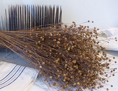
Auf dem Haargarten
Farmhouses and Farm Buildings
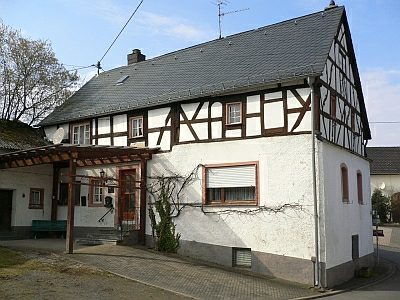
Fachwerkhaus
 80 m
Coats of Arms
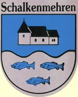
Wappen der Gemeinde Schalkenmehren
80 m
Place Names / Local History
Erste Erwähnung als Schalmere
 110 m
Catering, Inns and Hotels
Ehemaliges Brauhaus
 110 m
Altars
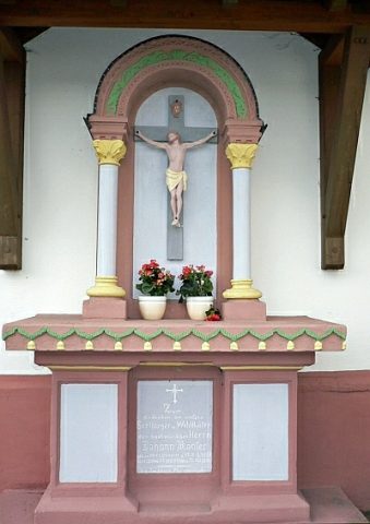
Gedenkaltar für Pastor Johann Konter
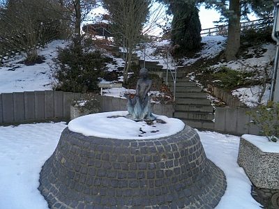 120 m
Fountains and Wells
Eifelvereins-Brunnen
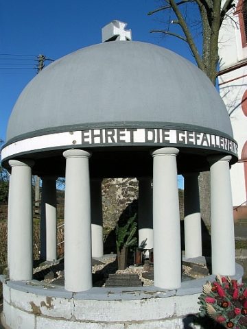 120 m
War Memorials