Place Names / Local History · Gothic
Ortsgeschichte Bolsdorf


Description
This description is only available in German.
Translate with Google opens this page in Google Translate (external service)
In der Feudalzeit gehörte der Ort zum Kurtrierischen Amt Hillesheim. Die Bevölkerung von Bolsdorf hegte während der Reformationszeit große Sympathie für den Protestantismus, so daß der Trierer Kurfürst Johann von Schönborn intervenierte. Unter Preußen wurde der Ort von der Bürgermeisterei Hillesheim aus verwaltet. Im 19. Jahrhundert befand sich in Bolsdorf ein Eisenbergwerk.
Classification
- Subject area
- History
- Category
- Place Names / Local History
- Date
- Circa 1100 bis circa 1500
- Period
- Gothic
Location
- District
- Vulkaneifel
- Collective municipality
- Gerolstein
- Town
- Hillesheim
- Locality / location
- Bolsdorf
- Field name
- Ortslage
- Coordinates
- WGS 84: 50.273343, 6.656971 (Position: within the village) WGS 84: 50° 16′ 24.0″ N, 6° 39′ 25.1″ E UTM 32 (ETRS89): E 333044 · N 5571649
Sources
Data sources
- © Marzellus Boos http://www.eifeltour.de/
On the internet
Picture credits
Last edited: 13 Oct 2008 Object ID: 4078
https://kulturdb.de/en/objekt/4078-hillesheim-ortsgeschichte-bolsdorf
Nearby
The nearest objects
Extraction and Processing of Raw Materials
Alte Schmiede
Farmhouses and Farm Buildings
Wohnhaus
 40 m
Catholic Churches
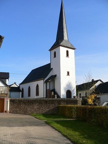
Sankt Margaretha
Farmhouses and Farm Buildings
Wohn- und Wirtschaftsgebäude
 100 m
Farmhouses and Farm Buildings
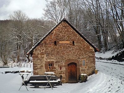
Backhaus
 110 m
Wayside Shrines and Stations of the Cross
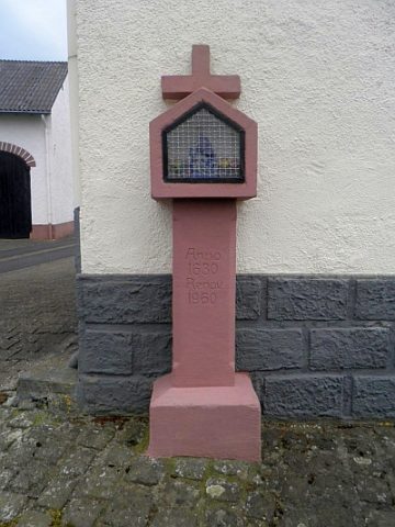
Wegekreuz
Wayside Shrines and Stations of the Cross
Wegekreuz am Friedhof
Field Names