Field Names · Undated
Rengener Sur


© GeoBasis-DE / LVermGeoRP, dl-de/by-2-0
There is no picture of this object yet. Do you have a photo that you would like to make available to the Kulturdatenbank? Submit a picture
Description
This description is only available in German.
Translate with Google opens this page in Google Translate (external service)
Sure: bedeutendere Bruch- und Sumpfstelle in Wald und Wiese; sumpfige Wiese innerhalb eines Feldes; Stelle, in der Wasser austritt, ohne eine ständige Quelle zu bilden. [1]
Classification
- Subject area
- History
- Category
- Field Names
- Date
- Undatiert
- Period
- Undated
Location
- District
- Vulkaneifel
- Collective municipality
- Daun
- Municipality
- Dreis-Brück
- Locality / location
- Dreis
- Field name
- Rengener Sur
- Coordinates
- WGS 84: 50.253544, 6.833402 (Position: exact) WGS 84: 50° 15′ 12.8″ N, 6° 50′ 00.2″ E UTM 32 (ETRS89): E 345551 · N 5569067
Sources
Data sources
- [1] Rheinisches Wörterbuch http://www.woerterbuchnetz.de/RhWB?lemma=sure_iii
On the internet
Last edited: 18 Mar 2016 Object ID: 40799
https://kulturdb.de/en/objekt/40799-dreis-brueck-rengener-sur
Nearby
The nearest objects
Field Names
Dauner Sur
Wayside Shrines and Stations of the Cross
Ehemaliges Wegekreuz
Field Names
Auf der Flachsspreit
Field Names
Im Wurmtrieschbüsch
Extraction and Processing of Raw Materials
Ehemalige Kiesgrube
 1.6 km
Natural Landscapes
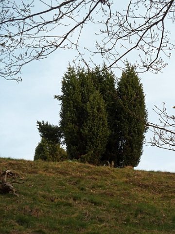
Wacholdergebiet Rengen
Find Sites
Römische Fundstreuung
Cremation Graves