Place Names / Local History · Gothic
Ortsgeschichte Mirbach


© GeoBasis-DE / LVermGeoRP, dl-de/by-2-0
There is no picture of this object yet. Do you have a photo that you would like to make available to the Kulturdatenbank? Submit a picture
Description
This description is only available in German.
Translate with Google opens this page in Google Translate (external service)
Mirbach ist Stammhaus eines alten Adelsgeschlechtes gewesen. Während der Feudalzeit waren die Herren von Dollendorf Lehnsherren über den Ort. Graf Otto von Manderscheid-Kail kaufte 1676 die beiden Lehnhöfe zu Mirbach. Bis 1794 gehörte Mirbach zur Grafschaft Blankenheim. Das Augustinerkloster in Hillesheim besaß bis zur Französischen Zeit den Klausenhof in Mirbach, der als Domäne eingezogen wurde. Unter französischen Verwaltung gehörte die Gemeinde zur Mairie Wiesbaum. In preußischer Zeit gehörte der Ort zur Bürgermeisterei Lissendorf.
Classification
- Subject area
- History
- Category
- Place Names / Local History
- Date
- Circa 1100 bis circa 1500
- Period
- Gothic
Location
- District
- Vulkaneifel
- Collective municipality
- Gerolstein
- Municipality
- Wiesbaum
- Locality / location
- Mirbach
- Field name
- Ortslage
- Coordinates
- WGS 84: 50.356883, 6.678121 (Position: within the village) WGS 84: 50° 21′ 24.8″ N, 6° 40′ 41.2″ E UTM 32 (ETRS89): E 334841 · N 5580889
Sources
Data sources
- © Marzellus Boos http://www.eifeltour.de/
On the internet
Last edited: 11 Feb 2002 Object ID: 4083
https://kulturdb.de/en/objekt/4083-wiesbaum-ortsgeschichte-mirbach
Nearby
The nearest objects
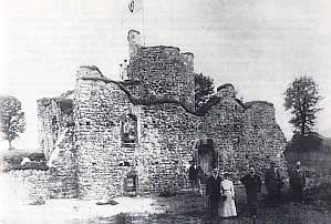 less than 10 m
Castles
Künstliche Burgruine
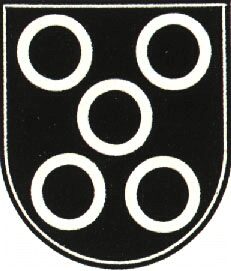 less than 10 m
Coats of Arms
Wappen der Gemeinde Wiesbaum-Mirbach
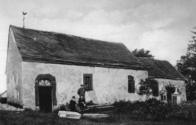 100 m
Chapels
Ehemalige Sebastian-Kapelle
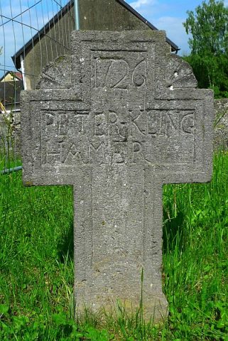 110 m
War Memorials
Friedhofskreuze (2)
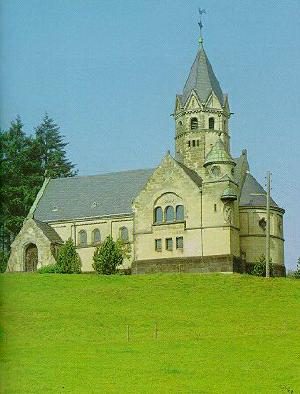 110 m
Chapels
Katholische Erlöserkapelle (1)
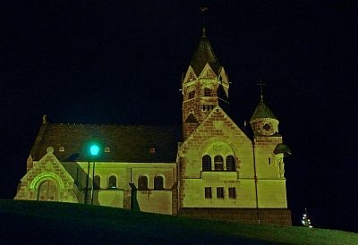 110 m
Organs
Katholische Erlöserkapelle (2)
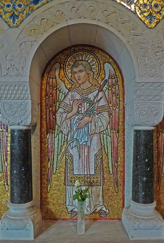 110 m
Organs
Katholische Erlöserkapelle (3)
 110 m
Groups of Trees