Springs · Undated
Hochburg - Felsenquelle


© GeoBasis-DE / LVermGeoRP, dl-de/by-2-0
There is no picture of this object yet. Do you have a photo that you would like to make available to the Kulturdatenbank? Submit a picture
Description
This description is only available in German.
Translate with Google opens this page in Google Translate (external service)
Auch Wasser erhält man [für die Bewohner der Hochburg Anm. d. Red.] an einem triefenden Felsen und dem eine Viertelstunde entfernten Kieselborn, an dem der Laufenbach entspringt [1]
Classification
- Subject area
- Natural Features
- Category
- Springs
- Date
- Undatiert
- Period
- Undated
Location
- District
- Trier-Saarburg
- Collective municipality
- Trier-Land
- Municipality
- Kordel
- Locality / location
- Burg Ramstein
- Field name
- Auf der Huhburg
- Coordinates
- WGS 84: 49.812550, 6.645940 (Position: exact) WGS 84: 49° 48′ 45.2″ N, 6° 38′ 45.4″ E UTM 32 (ETRS89): E 330644 · N 5520448
Sources
Data sources
- [1] Mohr, Nikolaus: Die Hochburg. In: Ehranger Heimat, Neuauflage, Band 5: Jahrgänge 1964-1967. Hrsg.: Ehranger Heimat e.V. April 2008.
On the internet
Last edited: 4 Jul 2016 Object ID: 41087
https://kulturdb.de/en/objekt/41087-kordel-hochburg-felsenquelle
Nearby
The nearest objects
 90 m
Charcoal Kilns
Ehemaliger Meilerplatz
 100 m
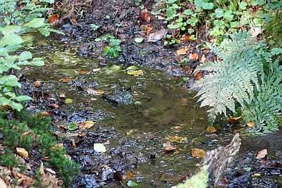
Springs
Hochburg - Kieselborn
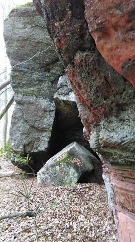 150 m
Rocks
Felslandschaft im Klausengrund
160 m
Charcoal Kilns
Ehemaliger Meilerplatz
160 m
Charcoal Kilns
Ehemaliger Meilerplatz
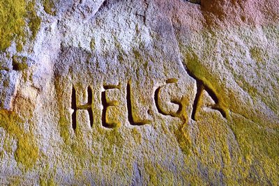 160 m
Markers and Monuments
Felsen am Klausengrund - Höhle, Ritzungen
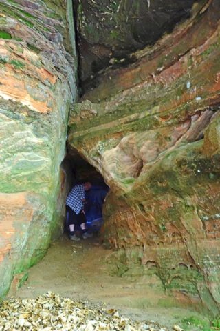 160 m
Caves
Felsen am Klausengrund - Höhle
160 m
Charcoal Kilns