Rocks · Undated
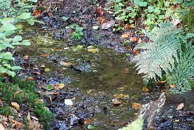
Felslandschaft im Klausengrund

Classification
- Subject area
- Natural Features
- Category
- Rocks
- Date
- Undatiert
- Period
- Undated
Location
- District
- Trier-Saarburg
- Collective municipality
- Trier-Land
- Municipality
- Kordel
- Locality / location
- Burg Ramstein
- Field name
- Im obersten Klausengrund
- Coordinates
- WGS 84: 49.811425, 6.644743 (Position: exact) WGS 84: 49° 48′ 41.1″ N, 6° 38′ 41.1″ E UTM 32 (ETRS89): E 330554 · N 5520326
Sources
Data sources
- [1] Tobias Schmitt, Trier-Ehrang, 2017.
On the internet
Picture credits
- Picture 1: © Tobias Schmitt, Trier-Ehrang, 2017.
Last edited: 10 Jun 2017 Object ID: 43045
https://kulturdb.de/en/objekt/43045-kordel-felslandschaft-im-klausengrund
Nearby
The nearest objects
 30 m
Charcoal Kilns
Ehemaliger Meilerplatz
70 m
Charcoal Kilns
Ehemaliger Meilerplatz
80 m
Charcoal Kilns
Ehemaliger Meilerplatz
90 m
Charcoal Kilns
Ehemaliger Meilerplatz
110 m
Charcoal Kilns
Ehemaliger Meilerplatz
110 m
Charcoal Kilns
Ehemaliger Meilerplatz
No picture
150 m
Springs
Hochburg - Felsenquelle
 200 m
Springs