Burial Mounds · Undated
Hügelgrab
- Listed monument

Classification
- Subject area
- Archaeological Monuments
- Category
- Burials
- Object type
- Burial Mounds
- Date
- Undatiert
- Period
- Undated
Location
- District
- Trier-Saarburg
- Town
- Hermeskeil
- Locality / location
- Im Adrian
- Field name
- In den Eschbrüchern
- Coordinates
- WGS 84: 49.650190, 6.966960 (Position: exact) WGS 84: 49° 39′ 00.7″ N, 6° 58′ 01.1″ E UTM 32 (ETRS89): E 353248 · N 5501723
Sources
Data sources
- [1] Digitale TK25. Landesamt für Vermessung und Geobasisinformation Rheinland-Pfalz. 2001 (ISBN 3-89637-345-5)
On the internet
naturpark.org/projekte/hahnenbornbruch/index.html
Picture credits
- Picture 1: http://www.biebertalonline.de/gemeinde/grab1.jpg
Last edited: 4 Aug 2016 Object ID: 41252
https://kulturdb.de/en/objekt/41252-hermeskeil-huegelgrab
Nearby
The nearest objects
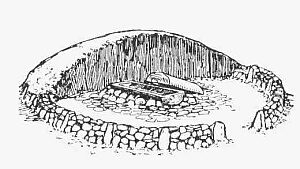 60 m
Burial Mounds
Hügelgrab
No picture
90 m
Field Names
In den Eschbrüchern
110 m
Burial Mounds
Hügelgrab
No picture
440 m
Peat Cuttings
Ehemaliger Torfstich
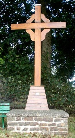 640 m
Wayside Shrines and Stations of the Cross
Kreuz am Waldstadion
No picture
670 m
Extraction and Processing of Raw Materials
Ehemalige Kiesgruben
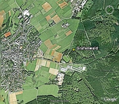 730 m
Entrenchments
Grafenwald
 890 m
Charcoal Kilns