Wayside Shrines and Stations of the Cross · 20th Century
Kreuz am Waldstadion


Description
This description is only available in German.
Translate with Google opens this page in Google Translate (external service)
Classification
- Subject area
- Architectural and Art Monuments
- Category
- Religious Buildings
- Object type
- Wayside Shrines and Stations of the Cross
- Date
- 1966
- Period
- 20th Century
Location
- District
- Trier-Saarburg
- Town
- Hermeskeil
- Street
- Züscher Straße
- Field name
- Der Grafenwald
- Coordinates
- WGS 84: 49.653993, 6.960251 (Position: exact) WGS 84: 49° 39′ 14.4″ N, 6° 57′ 36.9″ E UTM 32 (ETRS89): E 352776 · N 5502159
Sources
Data sources
- [1] Aus dem Hochwald. Wegekreuze und Gedenksteine. Hrsg. Arbeitskreis Heimatkunde Bildungswerk Johanneshaus Hermeskeil. Hermeskeil 1991.
- [2] Michael Grün, Trier, 2019.
On the internet
Picture credits
Last edited: 12 Sep 2019 Object ID: 48458
https://kulturdb.de/en/objekt/48458-hermeskeil-kreuz-am-waldstadion
Nearby
The nearest objects
No picture
120 m
Extraction and Processing of Raw Materials
Ehemalige Kiesgruben
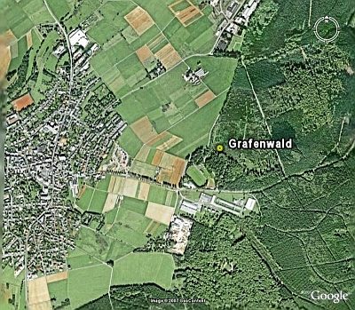 390 m
Entrenchments
Grafenwald
No picture
430 m
Peat Cuttings
Ehemaliger Torfstich
No picture
550 m
Field Names
In den Eschbrüchern
No picture
560 m
Peat Cuttings
Ehemaliger Torfstich
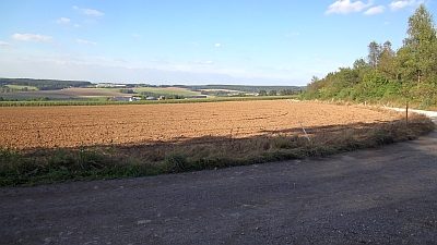 690 m
Fortresses and Bunkers
Ehemaliges Römerlager
No picture
730 m
Extraction and Processing of Raw Materials
Ehemalige Sandgrube
No picture
830 m
Settlements