Field Names · Undated
Auf dem Umlauf


© GeoBasis-DE / LVermGeoRP, dl-de/by-2-0
There is no picture of this object yet. Do you have a photo that you would like to make available to the Kulturdatenbank? Submit a picture
Description
This description is only available in German.
Translate with Google opens this page in Google Translate (external service)
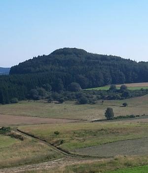
Umlauf - Zu mittelhochdeutsch umbelouf starkes Maskulinum, fneuhochdeutsch umlauf ‚ringsum führender Gang‘; althochdeutsch in umbilouft ‚Umlauf‘. Wie mit Umgang wird ein Weg bezeichnet, der um ein Hindernis herumführt. Auf dem Flurstück verläuft ein Weg, der um eine Anhöhe herumführt. [1]
Classification
- Subject area
- History
- Category
- Field Names
- Date
- Undatiert
- Period
- Undated
Location
- District
- Vulkaneifel
- Town
- Daun
- Locality / location
- Neunkirchen
- Field name
- Auf dem Umlauf
- Coordinates
- WGS 84: 50.196667, 6.772348 (Position: exact) WGS 84: 50° 11′ 48.0″ N, 6° 46′ 20.5″ E UTM 32 (ETRS89): E 341010 · N 5562872
Sources
Data sources
- [1] © Hessisches Flurnamenarchiv Gießen / Prof. Dr. Hans Ramge http://lagis.online.uni-marburg.de/de/subjects/xsrec/id/231289/curr…
On the internet
Last edited: 9 Aug 2016 Object ID: 41263
https://kulturdb.de/en/objekt/41263-daun-auf-dem-umlauf
Nearby
The nearest objects
Field Names
Von Herresborn bis an die Lahr
 550 m
Beeches
Fünf Buchen
550 m
Beeches
Fünf Buchen
Cremation Graves
Brandgrab
570 m
Beeches
Fünf Buchen
Extraction and Processing of Raw Materials
Mühlsteinbruch am Riemerich
570 m
Beeches
Fünf Buchen
 670 m
Volcanoes