Field Names · Undated
Seitertsweg


© GeoBasis-DE / LVermGeoRP, dl-de/by-2-0
There is no picture of this object yet. Do you have a photo that you would like to make available to the Kulturdatenbank? Submit a picture
Description
This description is only available in German.
Translate with Google opens this page in Google Translate (external service)
Seiters (Seitert, Sittard, Sittert) - Bedeutung: Der häufig ge- und mißdeutete Name hat ähnliche Bedeutung wie anderwärtiges Sonder, Sunder, eine mit Sonderrechten belegte, der Allgemeinnutzung entzogene Örtlichkeit. Im Rheinischen bezieht er sich meist auf Wald oder ehemaligen Wald. [1]
Classification
- Subject area
- History
- Category
- Field Names
- Date
- Undatiert
- Period
- Undated
Location
- District
- Vulkaneifel
- Town
- Daun
- Locality / location
- Neunkirchen
- Field name
- Seitertsweg
- Coordinates
- WGS 84: 50.198603, 6.794424 (Position: exact) WGS 84: 50° 11′ 55.0″ N, 6° 47′ 39.9″ E UTM 32 (ETRS89): E 342592 · N 5563041
Sources
Data sources
- [1] Heinrich Dittmaier: Rheinische Flurnamen. Ludwig Röhrscheid Verlag, Bonn, 1963.
On the internet
Last edited: 14 Nov 2016 Object ID: 41584
https://kulturdb.de/en/objekt/41584-daun-seitertsweg
Nearby
The nearest objects
Field Names
In der Seitert
Wayside Shrines and Stations of the Cross
Wegekreuz
Wayside Shrines and Stations of the Cross
Wegekreuz
Wayside Shrines and Stations of the Cross
Wegekreuz
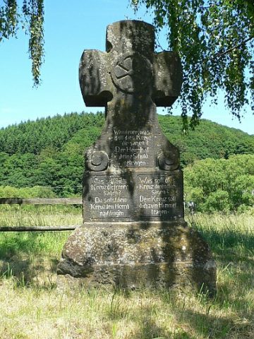 410 m
Wayside Shrines and Stations of the Cross
Wanderkreuz
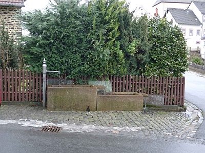 470 m
Fountains and Wells
Laufbrunnen
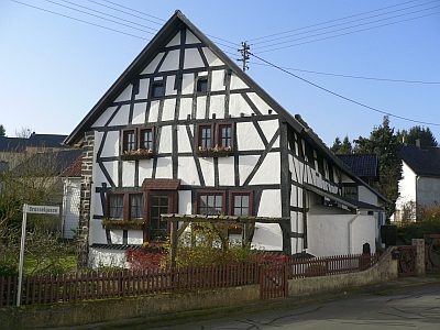 470 m
Farmhouses and Farm Buildings
Fachwerkhaus
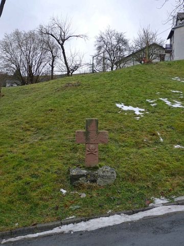 480 m
Wayside Shrines and Stations of the Cross