Field Names · Undated
Rennpfad


© GeoBasis-DE / LVermGeoRP, dl-de/by-2-0
There is no picture of this object yet. Do you have a photo that you would like to make available to the Kulturdatenbank? Submit a picture
Description
This description is only available in German.
Translate with Google opens this page in Google Translate (external service)
Rennpfad - Bedeutung:
1. Turnierweg, Turnierbahn.
2. Aus dem Ritterlichen ins Bäuerliche übertragen: Wett- und Pferdespielplätze des Volkes.
3. Vieleicht auch Wege, auf welchen man der Übung und notwendigen Bewegung halber die Pferde tummeln ließ. [1]
Renn – Die Namen gehören zu althochdeutsch. renniweg, mittelhochdeutsch rennewec starkes Maskulinum ‚Rennweg‘, einer alten Bezeichnung für Fernwege, die für den schnellen Verkehr (besonders für Reiter) geeignet waren. [2]
Classification
- Subject area
- History
- Category
- Field Names
- Date
- Undatiert
- Period
- Undated
Location
- District
- Eifelkreis Bitburg-Prüm
- Collective municipality
- Bitburger Land
- Municipality
- Sankt Thomas
- Field name
- Rennpfad
- Coordinates
- WGS 84: 50.069986, 6.585025 (Position: exact) WGS 84: 50° 04′ 11.9″ N, 6° 35′ 06.1″ E UTM 32 (ETRS89): E 327186 · N 5549206
Sources
Data sources
- [1] Heinrich Dittmaier: Rheinische Flurnamen. Ludwig Röhrscheid Verlag, Bonn, 1963.
- [2] © Hessisches Flurnamenarchiv Gießen / Prof. Dr. Hans Ramge
On the internet
Last edited: 13 Apr 2019 Object ID: 41632
https://kulturdb.de/en/objekt/41632-sankt-thomas-rennpfad
Nearby
The nearest objects
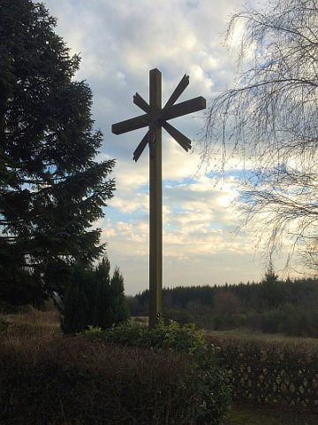 300 m
War Memorials
Friedhofskreuz
Field Names
Kasholz
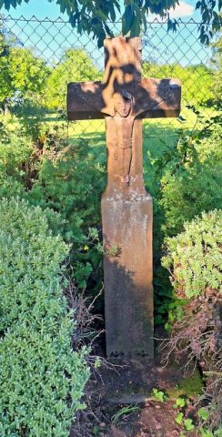 520 m
Wayside Shrines and Stations of the Cross
Wegekreuz
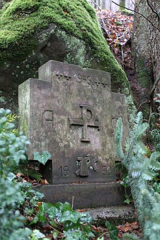 550 m
Pilgrimage Routes
Pilgerkreuz
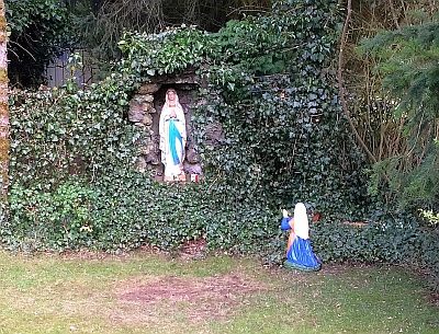 690 m
Marian Grottoes
Mariengrotte
 730 m
Catholic Churches
Sankt Maria vom guten Rat
Farmhouses and Farm Buildings
Ehemaliger Hof Burscheid
 1.0 km
Wayside Shrines and Stations of the Cross