Wayside Shrines and Stations of the Cross · Undated
Wegekreuz
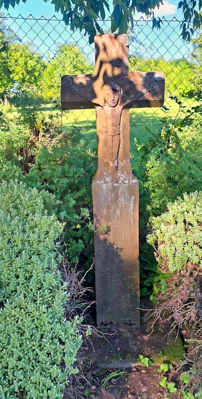
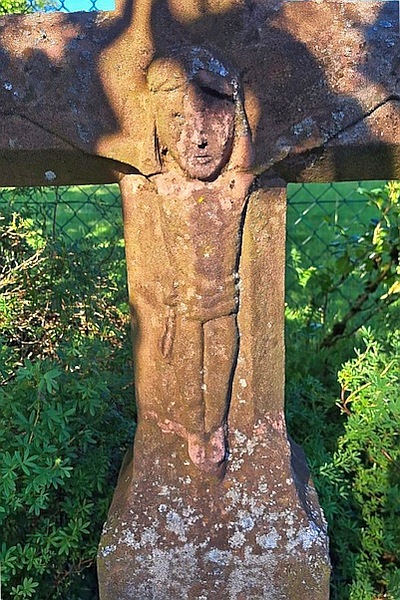
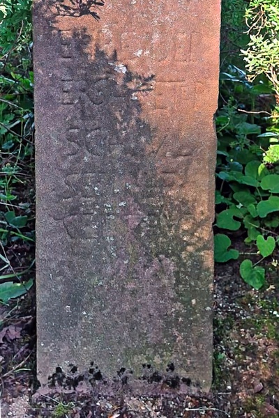
Classification
- Subject area
- Architectural and Art Monuments
- Category
- Religious Buildings
- Object type
- Wayside Shrines and Stations of the Cross
- Date
- Undatiert
- Period
- Undated
Location
- District
- Eifelkreis Bitburg-Prüm
- Collective municipality
- Bitburger Land
- Municipality
- Malberg
- Locality / location
- Mohrweiler
- Street
- Gegenüber Höhenstraße 41
- Field name
- Auf Mohrweiler
- Coordinates
- WGS 84: 50.065269, 6.584956 (Position: exact) WGS 84: 50° 03′ 55.0″ N, 6° 35′ 05.8″ E UTM 32 (ETRS89): E 327164 · N 5548681
Sources
Data sources
- [1] GeoPortal des Landes Rheinland-Pfalz. http://www.geoportal.rlp.de/
On the internet
Picture credits
Last edited: 15 Jun 2026 Object ID: 30547
https://kulturdb.de/en/objekt/30547-malberg-wegekreuz
Nearby
The nearest objects
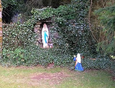 180 m
Marian Grottoes
Mariengrotte
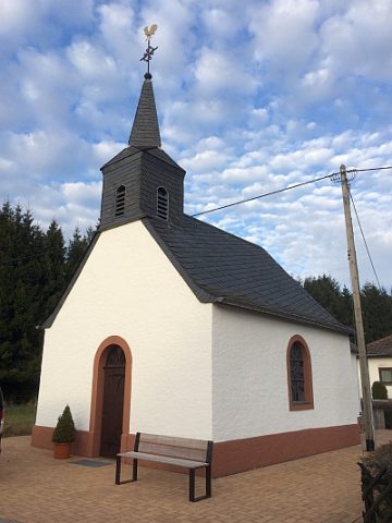 210 m
Catholic Churches
Sankt Maria vom guten Rat
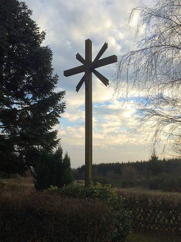 380 m
War Memorials
Friedhofskreuz
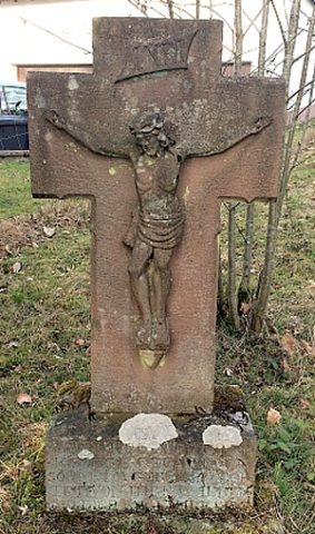 510 m
Wayside Shrines and Stations of the Cross
Wegekreuz
No picture
520 m
Farmhouses and Farm Buildings
Ehemaliger Hof Burscheid
No picture
520 m
Field Names
Rennpfad
No picture
660 m
Extraction and Processing of Raw Materials
Steinbruch
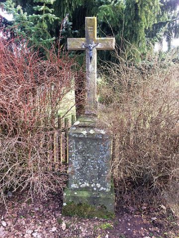 670 m
Wayside Shrines and Stations of the Cross