Field Names · Undated
Röder ober Häselenheck


© GeoBasis-DE / LVermGeoRP, dl-de/by-2-0
There is no picture of this object yet. Do you have a photo that you would like to make available to the Kulturdatenbank? Submit a picture
Description
This description is only available in German.
Translate with Google opens this page in Google Translate (external service)
Rod - Bedeutung: Stelle einer Rodung zum Zwecke der Flurerweiterung oder der Siedlung. [1]
Classification
- Subject area
- History
- Category
- Field Names
- Date
- Undatiert
- Period
- Undated
Location
- District
- Vulkaneifel
- Collective municipality
- Daun
- Municipality
- Dockweiler
- Field name
- Röder ober Häselenheck
- Coordinates
- WGS 84: 50.245764, 6.776824 (Position: exact) WGS 84: 50° 14′ 44.8″ N, 6° 46′ 36.6″ E UTM 32 (ETRS89): E 341492 · N 5568321
Sources
Data sources
- [1] Heinrich Dittmaier: Rheinische Flurnamen. Ludwig Röhrscheid Verlag, Bonn, 1963.
On the internet
Last edited: 22 Dec 2016 Object ID: 42061
https://kulturdb.de/en/objekt/42061-dockweiler-roeder-ober-haeselenheck
Nearby
The nearest objects
Volcanoes
Vulkan In der Eyd
Field Names
Im Röder
Field Names
Auf Rotherbuch
Field Names
Hinter Rotherbuch
Field Names
Auf Rotherbuch
Field Names
Ober Obsprung
Extraction and Processing of Raw Materials
Mühlsteinbruch
 340 m
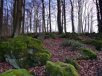
Rocks