Field Names · Undated
Hirmesauel


© GeoBasis-DE / LVermGeoRP, dl-de/by-2-0
There is no picture of this object yet. Do you have a photo that you would like to make available to the Kulturdatenbank? Submit a picture
Description
This description is only available in German.
Translate with Google opens this page in Google Translate (external service)
Auel - Bedeutung: Aue, mehr oder minder von Wasser umgeben, Grasfläche am Bach; die zwischen Flussbiegung und Berg entstandene fruchtbare Wiese, in weiterer Bedeutung feuchter Grund, Sumpf. Es handelt sich um eine l - Ableitung zu Aue. [1]
Classification
- Subject area
- History
- Category
- Field Names
- Date
- Undatiert
- Period
- Undated
Location
- District
- Eifelkreis Bitburg-Prüm
- Collective municipality
- Arzfeld
- Municipality
- Dahnen
- Field name
- Hirmesauel
- Coordinates
- WGS 84: 50.076639, 6.119266 (Position: exact) WGS 84: 50° 04′ 35.9″ N, 6° 07′ 09.4″ E UTM 32 (ETRS89): E 293890 · N 5551127
Sources
Data sources
- [1] Heinrich Dittmaier: Rheinische Flurnamen. Ludwig Röhrscheid Verlag, Bonn, 1963.
On the internet
Last edited: 22 Dec 2016 Object ID: 42206
https://kulturdb.de/en/objekt/42206-dahnen-hirmesauel
Nearby
The nearest objects
Mills
Ruine der ehemaligen Lorenzmühle
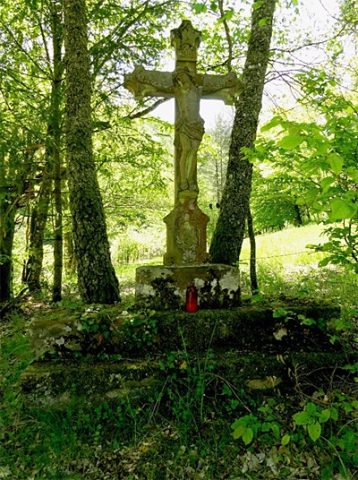 390 m
Wayside Shrines and Stations of the Cross
Wegekreuz
Caves
Schwarzes Loch
Fords
Furt durch die Our
Mills
Ehemalige Dahner-Mühle
Field Names
Strohenauel
Field Names
Unten in Bommertsauel
 1.6 km
Fortresses and Bunkers