Ferries · Neoclassicism
Ehemalige Fähre


Description
This description is only available in German.
Translate with Google opens this page in Google Translate (external service)
Die Fähre gehört der Gemeinde. [2]
Classification
- Subject area
- Architectural and Art Monuments
- Category
- Economy, Trade and Transport
- Object type
- Ferries
- Date
- 1783
- Period
- Neoclassicism
Location
- District
- Trier-Saarburg
- Collective municipality
- Schweich an der römischen Weinstraße
- Municipality
- Mehring
- Field name
- [Mosel]
- Coordinates
- WGS 84: 49.795970, 6.829110 (Position: exact) WGS 84: 49° 47′ 45.5″ N, 6° 49′ 44.8″ E UTM 32 (ETRS89): E 343767 · N 5518207
Sources
Data sources
- [1] Kartenaufnahme der Rheinlande durch Tranchot und von Müffling (1803-1820).
- [2] Georg Bärsch: Der Moselstrom von Metz bis Coblentz. Trier, 1841.
On the internet
Picture credits
Last edited: 30 Dec 2016 Object ID: 42255
https://kulturdb.de/en/objekt/42255-mehring-ehemalige-faehre
Nearby
The nearest objects
No picture
110 m
Monuments
Fährturm – Gedenktafel
 110 m
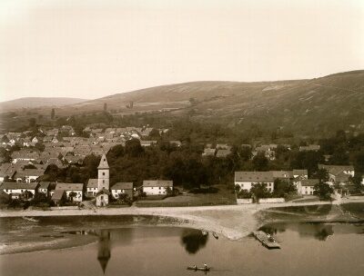
Ferries
Fährturm
 150 m
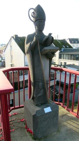
Works of Art
Statue heiliger Medardus
No picture
220 m
Settlements
Ehemalige Hofstätte Kochenhaus
No picture
250 m
Settlements
Ehemalige Hofstätte Klosterhof
 280 m
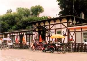
Railways
Moseltalbahn - Ehemaliger Bahnhof Mehring
 280 m
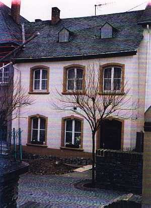
Synagogues
Ehemalige Synagoge
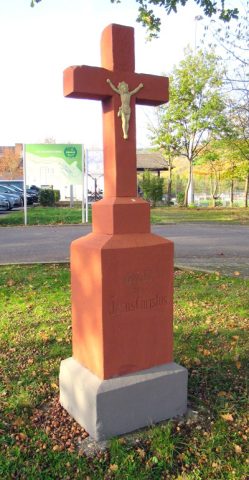 300 m
Wayside Shrines and Stations of the Cross