Monuments · Undated
Fährturm – Gedenktafel
- Listed monument


© GeoBasis-DE / LVermGeoRP, dl-de/by-2-0
There is no picture of this object yet. Do you have a photo that you would like to make available to the Kulturdatenbank? Submit a picture
Description
This description is only available in German.
Translate with Google opens this page in Google Translate (external service)
DIESER FÄHRTURM WURDE UNTER DER HERRSCHAFT
DES KURFÜRSTEN CLEMENS WENZESLAUS IM 18.
JAHRHUNDERT ERRICHTET.
ER ERINNERT NOCH AN 73 HÄUSER, DIE WEGEN DER
SCHIFFBARMACHUNG DER MOSEL ABGERISSEN
WERDEN MUSSTEN. AUF DEM 3 M. ERHÖHTEN
GELÄNDE ERSTAND NACH MODERNEN GESICHTS
PUNKTEN DER NEUE ORTSTEIL.
ZU DANKEN IST DER EIGENINITIATIVE DER BÜR
GER DER GEMEINDE, SOWIE DER HILFE VON BUND,
LAND, KREIS UND DER LANDSIEDLUNG VON
RHEINLAND-PFALZ. DER WIEERAUFBAU
KONNTE NACH VIERJÄHRIGER BAUZEIT 1966
ABGESCHLOSSEN WERDEN, [1]
Classification
- Subject area
- Architectural and Art Monuments
- Category
- Markers and Monuments
- Object type
- Monuments
- Date
- Undatiert
- Period
- Undated
Location
- District
- Trier-Saarburg
- Collective municipality
- Schweich an der römischen Weinstraße
- Municipality
- Mehring
- Street
- Moselstraße 19
- Field name
- Ortslage
- Coordinates
- WGS 84: 49.796504, 6.827798 (Position: exact) WGS 84: 49° 47′ 47.4″ N, 6° 49′ 40.1″ E UTM 32 (ETRS89): E 343675 · N 5518269
Sources
Data sources
- [1] Inschrift am Eingang zum Fährturm.
On the internet
Last edited: 1 Nov 2025 Object ID: 57420
https://kulturdb.de/en/objekt/57420-mehring-faehrturm-gedenktafel
Nearby
The nearest objects
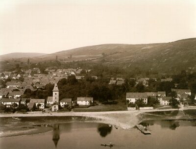 less than 10 m
Ferries
Fährturm
Settlements
Ehemalige Hofstätte Kochenhaus
110 m
Ferries
Ehemalige Fähre
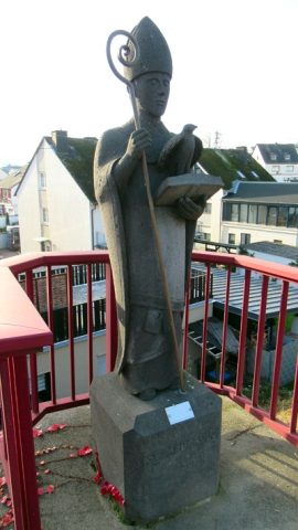 170 m
Works of Art
Statue heiliger Medardus
Settlements
Ehemalige Hofstätte Klosterhof
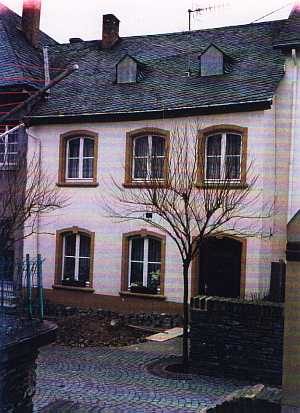 200 m
Synagogues
Ehemalige Synagoge
200 m
Jewish History
Jüdische Geschichte
 250 m
Markers and Monuments