Field Names · Undated
Im verbrannten Büsch


© GeoBasis-DE / LVermGeoRP, dl-de/by-2-0
There is no picture of this object yet. Do you have a photo that you would like to make available to the Kulturdatenbank? Submit a picture
Description
This description is only available in German.
Translate with Google opens this page in Google Translate (external service)
Verbrannte – Bedeutung: 1. Stelle, wo ein Wald- oder Heidebrand war. 2. Gebrannt – Bedeutung: 1. Landwirtschaftliche Nutzungsart, bei der man Buschwaldflächen abbrennt oder abbrannte , in die Asche säte und nach der Ernte das Land wieder auf Jahre sich selbst überließ. 2. Eine Rodungsart wobei man die in Nutzung zu nehmende Fläche durch Brand für die landwirtschaftliche Bearbeitung freimachte. Als Bedeutung sehr umstritten. [...] [1]
Classification
- Subject area
- History
- Category
- Field Names
- Date
- Undatiert
- Period
- Undated
Location
- District
- Vulkaneifel
- Collective municipality
- Gerolstein
- Municipality
- Kopp
- Field name
- Im verbrannten Büsch
- Coordinates
- WGS 84: 50.183583, 6.568076 (Position: exact) WGS 84: 50° 11′ 00.9″ N, 6° 34′ 05.1″ E UTM 32 (ETRS89): E 326385 · N 5561874
Sources
Data sources
- [1] Dittmaier Heinrich: Rheinische Flurnamen. Ludwig Röhrscheid Verlag, Bonn, 1963.
On the internet
Last edited: 2 Jan 2017 Object ID: 42320
https://kulturdb.de/en/objekt/42320-kopp-im-verbrannten-buesch
Nearby
The nearest objects
Field Names
Am Scheid
Field Names
In der Schultheisen
Field Names
Hinter dem Hundsberg
Wayside Shrines and Stations of the Cross
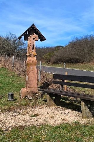
Wegekreuz
Field Names
Bei dem Faulenborn
Field Names
Im verbrannten Berg
 720 m
Wayside Shrines and Stations of the Cross
Barockes Schaftkreuz
Field Names