Deserted Settlements · Undated
Wüstung Ringelbacherhof
- Listed monument

Classification
- Subject area
- Archaeological Monuments
- Category
- Settlements
- Object type
- Deserted Settlements
- Date
- Undatiert
- Period
- Undated
Location
- District
- Vulkaneifel
- Collective municipality
- Kelberg
- Municipality
- Ueß
- Field name
- Auf der Fuhrt
- Coordinates
- WGS 84: 50.257920, 6.923218 (Position: exact) WGS 84: 50° 15′ 28.5″ N, 6° 55′ 23.6″ E UTM 32 (ETRS89): E 351967 · N 5569371
Sources
Data sources
- [1] Digitale TK25. Landesamt für Vermessung und Geobasisinformation Rheinland-Pfalz. 2001 (ISBN 3-89637-345-5)
On the internet
Picture credits
- Picture 1: Google Earth
Last edited: 29 Aug 2006 Object ID: 4242
https://kulturdb.de/en/objekt/4242-uess-wuestung-ringelbacherhof
Nearby
The nearest objects
No picture
490 m
Field Names
Im Pfaffental
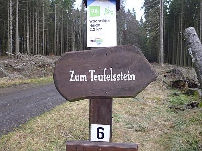 600 m
Standing Stones, Menhirs
Teufelsstein von Ueß
No picture
620 m
Field Names
Im Kleepesch
No picture
660 m
Field Names
Im Kleepesch
No picture
790 m
Field Names
Aufm Krummenrech
No picture
820 m
Wayside Shrines and Stations of the Cross
Wegekreuz
No picture
840 m
Field Names
Auf Den Stauden
No picture
850 m
Field Names