Extraction and Processing of Raw Materials · Neoclassicism
Ehemaliger Schacht einer Bleierzgrube


© GeoBasis-DE / LVermGeoRP, dl-de/by-2-0
There is no picture of this object yet. Do you have a photo that you would like to make available to the Kulturdatenbank? Submit a picture
Classification
- Subject area
- Architectural and Art Monuments
- Category
- Economy, Trade and Transport
- Object type
- Extraction and Processing of Raw Materials
- Date
- 1843
- Period
- Neoclassicism
Location
- District
- Eifelkreis Bitburg-Prüm
- Collective municipality
- Prüm
- Municipality
- Buchet
- Field name
- Auf Fischendell
- Coordinates
- WGS 84: 50.248580, 6.302790 (Position: exact) WGS 84: 50° 14′ 54.9″ N, 6° 18′ 10.0″ E UTM 32 (ETRS89): E 307710 · N 5569750
Sources
Data sources
- [1] Preußische Kartenaufnahme 1:25000 (1843-1878).
On the internet
Last edited: 23 Jan 2017 Object ID: 42623
https://kulturdb.de/en/objekt/42623-buchet-ehemaliger-schacht-einer-bleierzgrube
Nearby
The nearest objects
Field Names
Auf Fischendell
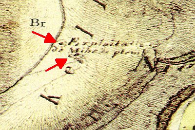 140 m
Extraction and Processing of Raw Materials
Ehemaliger Schacht einer Bleierzgrube
230 m
Extraction and Processing of Raw Materials
Ehemaliger Schacht einer Bleierzgrube
Extraction and Processing of Raw Materials
Ehemalige Bleigrube Bertaschacht (Alt)
Extraction and Processing of Raw Materials
Ehemaliger Abbau von Bleierz
Wayside Shrines and Stations of the Cross
Wegekreuz
Extraction and Processing of Raw Materials
Ehemaliger Schacht August
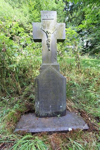 650 m
Wayside Shrines and Stations of the Cross