Field Names · Undated
Auf dem Rothigskop


© GeoBasis-DE / LVermGeoRP, dl-de/by-2-0
There is no picture of this object yet. Do you have a photo that you would like to make available to the Kulturdatenbank? Submit a picture
Description
This description is only available in German.
Translate with Google opens this page in Google Translate (external service)
Flurnamen: Rod – Röder
ROD (Roth, Rott, Rath, Röth, Ray, Roy; Diminutiv Rödchen, Rädchen, Röttgen, Rötchen; Plural Röder, Rotter, Rother, Ruder) – Bedeutung: Stelle einer Rodung zum Zwecke der Flurerweiterung oder der Siedlung. [1]
Classification
- Subject area
- History
- Category
- Field Names
- Date
- Undatiert
- Period
- Undated
Location
- District
- Eifelkreis Bitburg-Prüm
- Collective municipality
- Arzfeld
- Municipality
- Krautscheid
- Locality / location
- Bellscheid
- Field name
- Auf dem Rothigskop
- Coordinates
- WGS 84: 50.083545, 6.361324 (Position: exact) WGS 84: 50° 05′ 00.8″ N, 6° 21′ 40.8″ E UTM 32 (ETRS89): E 311233 · N 5551255
Sources
Data sources
- [1] Dittmaier, Heinrich: Rheinische Flurnamen. Ludwig Röhrscheid Verlag, Bonn, 1963.
On the internet
Last edited: 25 Jun 2017 Object ID: 43413
https://kulturdb.de/en/objekt/43413-krautscheid-auf-dem-rothigskop
Nearby
The nearest objects
Mills
Ehemalige Ölmühle
 130 m
Deserted Settlements
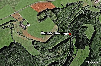
Ölmühle (Wüstung)
Field Names
Rothig
Field Names
In Heizdell
Field Names
In Dresheld
 340 m
Wayside Shrines and Stations of the Cross
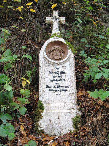
Wegekreuz
 380 m
Viewpoints
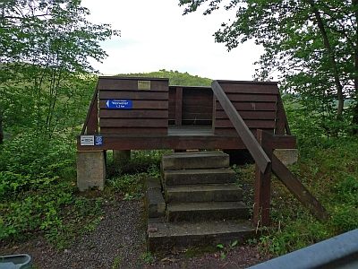
Aussichtsplattform an der Kreisstraße 123
Field Names