Deserted Settlements · Neoclassicism
Ölmühle (Wüstung)


Description
This description is only available in German.
Translate with Google opens this page in Google Translate (external service)
Ehemalige Ölmühle an einem in die Prüm mündenden Seitenbach. Sie ist wohl im 19. Jahrhundert aufgegeben worden. [1]
Classification
- Subject area
- Archaeological Monuments
- Category
- Settlements
- Object type
- Deserted Settlements
- Date
- Circa 1750 bis 1850
- Period
- Neoclassicism
Location
- District
- Eifelkreis Bitburg-Prüm
- Collective municipality
- Arzfeld
- Municipality
- Lauperath
- Field name
- Auf dem Rothigskop
- Coordinates
- WGS 84: 50.084509, 6.360236 (Position: exact) WGS 84: 50° 05′ 04.2″ N, 6° 21′ 36.8″ E UTM 32 (ETRS89): E 311159 · N 5551365
Sources
Data sources
- [1] Janssen, W.: Studien zur Wüstungsfrage im fränkischen Altsiedelland zwischen Rhein, Mosel und Eifelnordrand. 2 Bände. Text u. Katalog, 1975.
On the internet
Picture credits
Last edited: 29 Nov 2007 Object ID: 470
https://kulturdb.de/en/objekt/470-lauperath-oelmuehle-wuestung
Nearby
The nearest objects
No picture
30 m
Mills
Ehemalige Ölmühle
No picture
110 m
Field Names
In Dresheld
No picture
130 m
Field Names
In Heizdell
No picture
130 m
Field Names
Auf dem Rothigskop
No picture
250 m
Field Names
Rothig
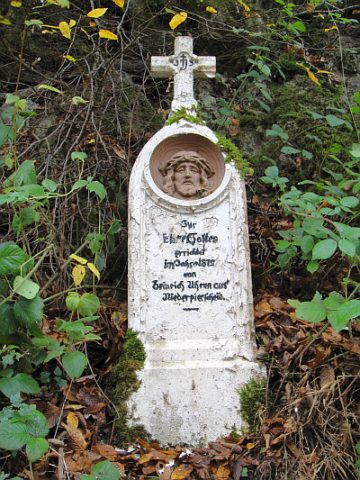 340 m
Wayside Shrines and Stations of the Cross
Wegekreuz
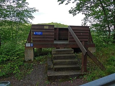 370 m
Viewpoints
Aussichtsplattform an der Kreisstraße 123
No picture
480 m
Field Names