Fortresses and Bunkers · 20th Century
Ehemaliges französisches Munitionslager


© GeoBasis-DE / LVermGeoRP, dl-de/by-2-0
There is no picture of this object yet. Do you have a photo that you would like to make available to the Kulturdatenbank? Submit a picture
Classification
- Subject area
- Architectural and Art Monuments
- Object type
- Fortresses and Bunkers
- Date
- Nach 1945
- Period
- 20th Century
Location
- District
- Bernkastel-Wittlich
- Collective municipality
- Traben-Trarbach
- Municipality
- Willwerscheid
- Field name
- Seifenfeld
- Coordinates
- WGS 84: 50.032160, 6.921940 (Position: exact) WGS 84: 50° 01′ 55.8″ N, 6° 55′ 19.0″ E UTM 32 (ETRS89): E 351177 · N 5544275
Sources
Data sources
- [1] Eppes Neies - Vereinszeitung des SV Greimerath, Ausgabe Januar 2012.
On the internet
Last edited: 18 Jul 2017 Object ID: 44017
https://kulturdb.de/en/objekt/44017-willwerscheid-ehemaliges-franzoesisches-munitionslager
Nearby
The nearest objects
No picture
360 m
Settlements
Römische Mauerreste mit Ziegeln
No picture
400 m
Field Names
Steinrausch
No picture
410 m
Chapels
Wegekapelle
No picture
440 m
Prisons
Ehemaliges Arbeitslager für Zwangsarbeiter
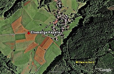 490 m
Chapels
Ehemalige Kapelle
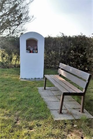 500 m
Wayside Shrine Houses
Heiligenhäuschen
No picture
590 m
Wayside Shrines and Stations of the Cross
Wegekreuz
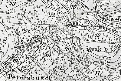 630 m
Defensive Earthworks and Watchtowers