Field Names · Undated
Auf der Redout


© GeoBasis-DE / LVermGeoRP, dl-de/by-2-0
There is no picture of this object yet. Do you have a photo that you would like to make available to the Kulturdatenbank? Submit a picture
Description
This description is only available in German.
Translate with Google opens this page in Google Translate (external service)
Redout - Neufranzösisch: redoute = viereckige Schanze. Alte Bedeutung: Gehege, umzäunter Raum. [1]
Classification
- Subject area
- History
- Category
- Field Names
- Date
- Undatiert
- Period
- Undated
Location
- District
- Bernkastel-Wittlich
- Town
- Traben-Trarbach
- Locality / location
- Trarbach
- Street
- Grabenstraße
- Field name
- Auf der Redout
- Coordinates
- WGS 84: 49.947970, 7.109970 (Position: exact) WGS 84: 49° 56′ 52.7″ N, 7° 06′ 35.9″ E UTM 32 (ETRS89): E 364405 · N 5534558
Sources
Data sources
- [1] Die Flurnamen unseres Dorfes. Http://www.weiler-saar.de/html/body_flurnamen.htm
On the internet
Last edited: 24 Jul 2017 Object ID: 44099
https://kulturdb.de/en/objekt/44099-traben-trarbach-auf-der-redout
Nearby
The nearest objects
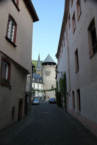 50 m
Town Fortifications
Sogenannter Weisser Turm
Chartered Towns
Stadtrechte Trarbach
Town Houses and Commercial Buildings
Eckwohn- und Geschäftshaus
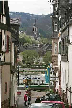 110 m
Catholic Churches
Sankt-Nikolaus-Kirche
Town Houses and Commercial Buildings
Doppelwohnhaus
Town Houses and Commercial Buildings
Villa in großem Park
Town Houses and Commercial Buildings
Siebenachsiges dreigeschossiges Zeilenwohnhaus
Town Houses and Commercial Buildings