Fortresses and Bunkers · 20th Century
Ehemaliger Reichsbahnbunker


© GeoBasis-DE / LVermGeoRP, dl-de/by-2-0
There is no picture of this object yet. Do you have a photo that you would like to make available to the Kulturdatenbank? Submit a picture
Description
This description is only available in German.
Translate with Google opens this page in Google Translate (external service)
Luftschutzbunker. [1]
Classification
- Subject area
- Architectural and Art Monuments
- Object type
- Fortresses and Bunkers
- Date
- Anfang der 1940er Jahre
- Period
- 20th Century
- Creator, builder, architect, artist
- Stadtwerke Trier
Location
- District
- City of Trier
- Collective municipality
- Verbandsfreie Gemeinde Trier
- Town
- Trier
- Locality / location
- Ehrang-Quint
- Street
- Ehranger Straße 1 A
- Field name
- Ortslage
- Coordinates
- WGS 84: 49.802610, 6.685420 (Position: exact) WGS 84: 49° 48′ 09.4″ N, 6° 41′ 07.5″ E UTM 32 (ETRS89): E 333450 · N 5519255
Sources
Data sources
- [1] Günther Merzkirch: Reichsbahnbunker neben dem Ehranger Bahnhof. In: Ehranger Heimat - Jahrbuch 2017. Hrsg. Verein Ehranger Heimat e.V. http://www.ehranger-heimat.de [1]
On the internet
Last edited: 22 Sep 2017 Object ID: 44603
https://kulturdb.de/en/objekt/44603-trier-ehemaliger-reichsbahnbunker
Nearby
The nearest objects
Field Names
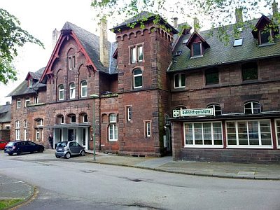
Unter dem Maarhübel durch den Pfalzerweg
 70 m
Railways
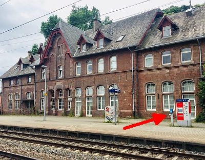
Bahnhof Ehrang
 70 m
Surveying
Bahnhof Ehrang - Höhenpunkt
 80 m
Plane Trees
Platane am Bahnhof Ehrang
 90 m
Protestant Churches
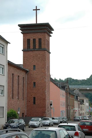
Evangelische Pfarrkirche
Field Names
In der Wallenbach In der Wallenbach
Field Names
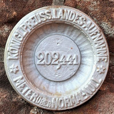
Oben bei der Maarwies
 180 m
Surveying