Field Names · Undated
In der Gruf


© GeoBasis-DE / LVermGeoRP, dl-de/by-2-0
There is no picture of this object yet. Do you have a photo that you would like to make available to the Kulturdatenbank? Submit a picture
Description
This description is only available in German.
Translate with Google opens this page in Google Translate (external service)
Gruf – Grube, Vertiefung [1]
Classification
- Subject area
- History
- Category
- Field Names
- Date
- Undatiert
- Period
- Undated
Location
- District
- Trier-Saarburg
- Collective municipality
- Schweich an der römischen Weinstraße
- Municipality
- Klüsserath
- Field name
- In der Gruf
- Coordinates
- WGS 84: 49.844229, 6.847060 (Position: exact) WGS 84: 49° 50′ 39.2″ N, 6° 50′ 49.4″ E UTM 32 (ETRS89): E 345213 · N 5523535
Sources
Data sources
- [1] Die Flurnamen des Dorfes. http://www.weiler-saar.de/html/body_flurnamen.htm
On the internet
Last edited: 1 Nov 2017 Object ID: 45236
https://kulturdb.de/en/objekt/45236-kluesserath-in-der-gruf
Nearby
The nearest objects
Field Names
Auf der Sang
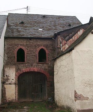 110 m
Synagogues
Angebliche Synagoge
Vineyard Sites
Hinter den Häusern unterm Pichterweg
Synagogues
Ehemalige Synagoge
110 m
Jewish History
Jüdische Geschichte
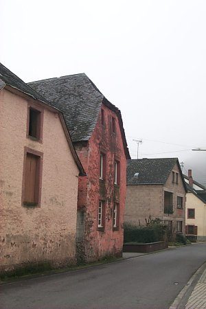 130 m
Town Houses and Commercial Buildings
Krüppelwalmdachbau
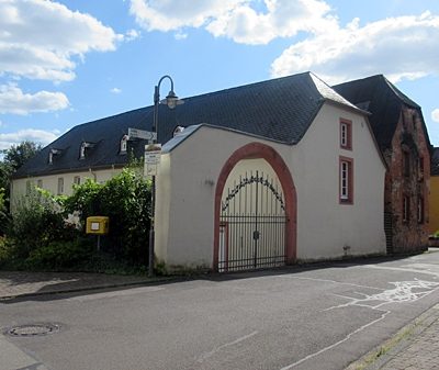 140 m
Farmhouses and Farm Buildings
Pfarrscheune
 150 m
Catholic Churches