Railways · Undated
Ehemaliger Haltepunkt Bischofsdhron


© GeoBasis-DE / LVermGeoRP, dl-de/by-2-0
There is no picture of this object yet. Do you have a photo that you would like to make available to the Kulturdatenbank? Submit a picture
Classification
- Subject area
- Architectural and Art Monuments
- Object type
- Railways
- Date
- Undatiert
- Period
- Undated
Location
- District
- Bernkastel-Wittlich
- Collective municipality
- Einheitsgemeinde Morbach
- Municipality
- Morbach
- Locality / location
- Bischofsdhron
- Street
- Idarwaldstraße
- Field name
- Friedwald
- Coordinates
- WGS 84: 49.815660, 7.152830 (Position: exact) WGS 84: 49° 48′ 56.4″ N, 7° 09′ 10.2″ E UTM 32 (ETRS89): E 367117 · N 5519772
Sources
Data sources
On the internet
kbs607b.hunsrueckquerbahn.de/11.Bischofsdhron.057/Bahnhof_Bischofsdhron_frame.htm
Last edited: 23 Nov 2017 Object ID: 45813
https://kulturdb.de/en/objekt/45813-morbach-ehemaliger-haltepunkt-bischofsdhron
Nearby
The nearest objects
No picture
360 m
Mills
Obere Mühle am Klingbach
No picture
370 m
Mills
Untere Mühle am Klingbach
No picture
440 m
Field Names
Aufm Kollmannstriesch
No picture
450 m
Field Names
Bohrbungerten
 470 m
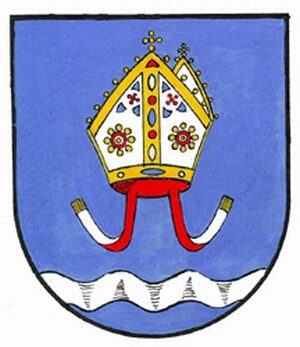
Coats of Arms
Wappen von Morbach-Bischofsdhron
No picture
470 m
Place Names / Local History
Erste Erwähnung von Bischofsdhron
No picture
610 m
War Memorials
Neugotisches Friedhofskreuz
 660 m
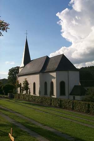
Organs