Chemins de fer · Non daté
Ehemaliger Haltepunkt Bischofsdhron


© GeoBasis-DE / LVermGeoRP, dl-de/by-2-0
Il n'y a pas encore de photo de cet objet. Disposez-vous d'une photo que vous souhaiteriez mettre à la disposition de la Kulturdatenbank ? Envoyer une photo
Classification
- Type d'objet
- Chemins de fer
- Date
- Undatiert
- Période
- Non daté
Localisation
- Arrondissement
- Bernkastel-Wittlich
- Communauté de communes
- Einheitsgemeinde Morbach
- Commune
- Morbach
- Localité / emplacement
- Bischofsdhron
- Rue
- Idarwaldstraße
- Lieu-dit
- Friedwald
- Coordonnées
- WGS 84 : 49.815660, 7.152830 (Position : exacte) WGS 84 : 49° 48′ 56,4″ N, 7° 09′ 10,2″ E UTM 32 (ETRS89) : E 367117 · N 5519772
Sources
Sources des données
Sur Internet
kbs607b.hunsrueckquerbahn.de/11.Bischofsdhron.057/Bahnhof_Bischofsdhron_frame.htm
Dernière modification : 23 nov. 2017 Identifiant de l'objet : 45813
https://kulturdb.de/fr/objekt/45813-morbach-ehemaliger-haltepunkt-bischofsdhron
À proximité
Les objets les plus proches
Pas d'image
360 m
Moulins
Obere Mühle am Klingbach
Pas d'image
370 m
Moulins
Untere Mühle am Klingbach
Pas d'image
440 m
Lieux-dits
Aufm Kollmannstriesch
Pas d'image
450 m
Lieux-dits
Bohrbungerten
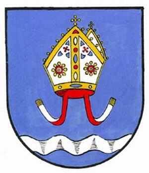 470 m
Armoiries
Wappen von Morbach-Bischofsdhron
Pas d'image
470 m
Toponymie / Histoire locale
Erste Erwähnung von Bischofsdhron
Pas d'image
610 m
Monuments aux morts
Neugotisches Friedhofskreuz
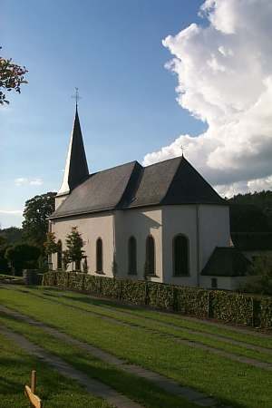 660 m
Orgues