Vineyard Sites · Historicism / Art Nouveau
Falmet


© GeoBasis-DE / LVermGeoRP, dl-de/by-2-0
There is no picture of this object yet. Do you have a photo that you would like to make available to the Kulturdatenbank? Submit a picture
Classification
- Subject area
- History
- Category
- Vineyard Sites
- Date
- 1868
Location
- District
- Trier-Saarburg
- Town
- Konz
- Locality / location
- Oberemmel
- Field name
- Vor Falmet
- Coordinates
- WGS 84: 49.658380, 6.646700 (Position: exact) WGS 84: 49° 39′ 30.2″ N, 6° 38′ 48.1″ E UTM 32 (ETRS89): E 330162 · N 5503308
Sources
Data sources
- [1] Weinbaukarte Saar-Mosel für den Regierungsbezirk Trier, Clotten 1868. http://www.stadtbibliothek-weberbach.de/shop/reproduktionen/weinbau…
On the internet
Last edited: 6 Dec 2017 Object ID: 45992
https://kulturdb.de/en/objekt/45992-konz-falmet
Nearby
The nearest objects
No picture
270 m
Wayside Shrines and Stations of the Cross
Wegekreuz
No picture
360 m
Mills
Ehemalige Lohmühle
No picture
420 m
Field Names
Bei der Lohmühle
 440 m
Field Names
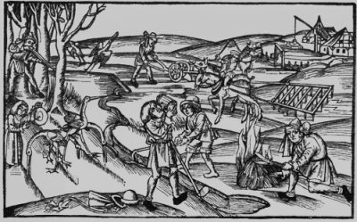
Im Faulenberg
No picture
470 m
Field Names
Bungertswiese
No picture
650 m
Wayside Shrines and Stations of the Cross
Wegekreuz
No picture
690 m
Extraction and Processing of Raw Materials
Ehemaliger Schieferbruch Oberemmel
 710 m
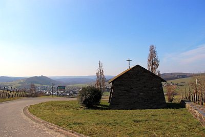
Viewpoints