Extraction and Processing of Raw Materials · Undated
Ehemaliger Schieferbruch Oberemmel


© GeoBasis-DE / LVermGeoRP, dl-de/by-2-0
There is no picture of this object yet. Do you have a photo that you would like to make available to the Kulturdatenbank? Submit a picture
Description
This description is only available in German.
Translate with Google opens this page in Google Translate (external service)
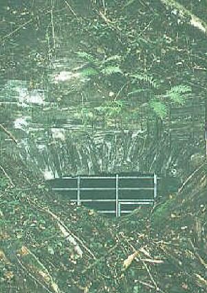
[...] ein alter Schiefersteinbruch oberhalb des Ortes Oberemmel. Hier wurde bis zum Ende des zweiten Weltkrieges Schiefer aus dem Bergmassiv gebrochen und anschließend weiterverarbeitet. Noch heute sieht man hier die Spuren des Übertagebaus.
[The next Topcacher in: http://www.geocaching.com/seek/cache_details.aspx?guid=d4072a1f-6f9…]
Classification
- Subject area
- Architectural and Art Monuments
- Category
- Economy, Trade and Transport
- Object type
- Extraction and Processing of Raw Materials
- Date
- Undatiert
- Period
- Undated
Location
- District
- Trier-Saarburg
- Town
- Konz
- Locality / location
- Oberemmel
- Field name
- Schillenswäldchen
- Coordinates
- WGS 84: 49.652247, 6.645430 (Position: exact) WGS 84: 49° 39′ 08.1″ N, 6° 38′ 43.5″ E UTM 32 (ETRS89): E 330048 · N 5502629
Sources
Data sources
- Von: The next Topcacher in: http://www.geocaching.com/seek/cache_details.aspx?guid=d4072a1f-6f9…
- 8a7f85f76c
On the internet
Last edited: 22 Aug 2011 Object ID: 23445
https://kulturdb.de/en/objekt/23445-konz-ehemaliger-schieferbruch-oberemmel
Nearby
The nearest objects
Wayside Shrines and Stations of the Cross
Wegekreuz
 170 m
Extraction and Processing of Raw Materials
Ehemaliges Schieferbergwerk Oberemmel
Wayside Shrines and Stations of the Cross
Wegekreuz
Field Names
Auf dem Kaltenborn
Wayside Shrines and Stations of the Cross
Wegekreuz
Vineyard Sites
Falmet
 860 m
Field Names
Im Faulenberg
Mills