Wayside Shrines and Stations of the Cross · Undated
Wegekreuz


© GeoBasis-DE / LVermGeoRP, dl-de/by-2-0
There is no picture of this object yet. Do you have a photo that you would like to make available to the Kulturdatenbank? Submit a picture
Classification
- Subject area
- Architectural and Art Monuments
- Category
- Religious Buildings
- Object type
- Wayside Shrines and Stations of the Cross
- Date
- Undatiert
- Period
- Undated
Location
- District
- Trier-Saarburg
- Town
- Konz
- Locality / location
- Oberemmel
- Field name
- Läschberg
- Coordinates
- WGS 84: 49.646688, 6.644792 (Position: exact) WGS 84: 49° 38′ 48.1″ N, 6° 38′ 41.3″ E UTM 32 (ETRS89): E 329983 · N 5502013
Sources
Data sources
- [1] GeoPortal des Landes Rheinland-Pfalz. http://www.geoportal.rlp.de/
On the internet
Last edited: 10 May 2013 Object ID: 26724
https://kulturdb.de/en/objekt/26724-konz-wegekreuz
Nearby
The nearest objects
 590 m
Extraction and Processing of Raw Materials
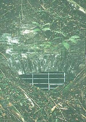
Ehemaliges Schieferbergwerk Oberemmel
No picture
620 m
Extraction and Processing of Raw Materials
Ehemaliger Schieferbruch Oberemmel
No picture
700 m
Wayside Shrines and Stations of the Cross
Wegekreuz
 700 m
Field Names
Vor dem Ginsterbüsch
No picture
930 m
Field Names
Auf dem Kaltenborn
No picture
1.0 km
Field Names
Beim Kaltenborn
No picture
1.1 km
Wayside Shrines and Stations of the Cross
Wegekreuz
No picture
1.3 km
Vineyard Sites