Mineral Springs · Undated
Rothenbacher Drees


Description
This description is only available in German.
Translate with Google opens this page in Google Translate (external service)
Der Rothenbacher "Drees", wie die Quelle im Volksmund heißt, entspringt aus dem Sandstein und Gesteinsschichten des Unterdevons von vor etwa 417 bis 392 Millionen Jahren. Er ist damit ein lebendiges Zeugnis der vulkanischen Vergangenheit der Eifel. Das trinkbare Quellwasser hat einen hohen Kohlendioxyd- und Eisengehalt. Das Eisen veRuhrsacht die rotbraune Färbung des Wassers, nach dem der Bachlauf und der Ort benannt sind. .
Classification
- Subject area
- Natural Features
- Category
- Springs
- Object type
- Mineral Springs
- Date
- Undatiert
- Period
- Undated
Location
- District
- Vulkaneifel
- Municipality
- Kelberg
- Locality / location
- Rothenbach
- Field name
- Auf der Bindwies
- Coordinates
- WGS 84: 50.308216, 6.888068 (Position: exact) WGS 84: 50° 18′ 29.6″ N, 6° 53′ 17.0″ E UTM 32 (ETRS89): E 349620 · N 5575034
Sources
Data sources
- Info-Tafel.
On the internet
Picture credits
Last edited: 11 Feb 2011 Object ID: 4617
https://kulturdb.de/en/objekt/4617-kelberg-rothenbacher-drees
Nearby
The nearest objects
Field Names
Auf dem süßen Regen
Wayside Shrines and Stations of the Cross
Wegekreuz am südlichen Ortsrand
Field Names
Auf dem Bohrpesch
Farmhouses and Farm Buildings
Fachwerkhaus
Farmhouses and Farm Buildings
Fachwerkhaus
 410 m
Commemorative Plantings
Kaiserlinde mit Gedenkstein
 410 m
Catholic Churches
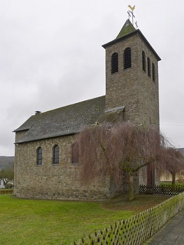
Mariä Himmelfahrt
Place Names / Local History