Road Transport · Celtic / Roman Period
Spuren einer Römerstraße
- Listed monument


Classification
- Subject area
- Archaeological Monuments
- Category
- Economy, Trade and Transport
- Object type
- Road Transport
- Date
- Circa 500 vor Chr. bis circa 500 nach Chr.
- Period
- Celtic / Roman Period
Location
- District
- Vulkaneifel
- Collective municipality
- Daun
- Municipality
- Dockweiler
- Field name
- Am Obereherpfad
- Coordinates
- WGS 84: 50.257353, 6.778554 (Position: exact) WGS 84: 50° 15′ 26.5″ N, 6° 46′ 42.8″ E UTM 32 (ETRS89): E 341654 · N 5569606
Sources
Data sources
- [1] Digitale TK25. Landesamt für Vermessung und Geobasisinformation Rheinland-Pfalz. 2001 (ISBN 3-89637-345-5)
On the internet
Straßenbau zur Römerzeit - Medienzentrum Daun
Picture credits
Last edited: 13 Jan 2012 Object ID: 4640
https://kulturdb.de/en/objekt/4640-dockweiler-spuren-einer-roemerstrasse
Nearby
The nearest objects
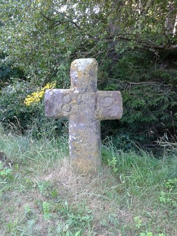 20 m
Wayside Shrines and Stations of the Cross
Franzosenkreuz
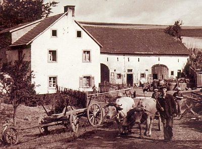 210 m
Mills
Ehemalige Dockweiler Mühle am Ahbach
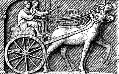 220 m
Road Transport
Spuren einer Römerstraße
No picture
290 m
Field Names
Auf den Hohmorgen
No picture
440 m
Field Names
An Pfaffenacker
No picture
450 m
Field Names
Beuspesch
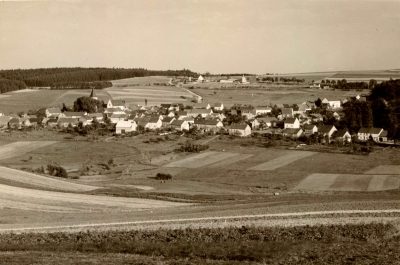 480 m
Jewish History
Jüdische Geschichte
No picture
530 m
Field Names