Railways · Historicism / Art Nouveau
Ehemaliger Bahnhof Schoden
Saarstrecke


© GeoBasis-DE / LVermGeoRP, dl-de/by-2-0
There is no picture of this object yet. Do you have a photo that you would like to make available to the Kulturdatenbank? Submit a picture
Description
This description is only available in German.
Translate with Google opens this page in Google Translate (external service)
1903 wurde ein Bahnhofsgebäude errichtet (das 1945 zerstört wurde). [1]
Classification
- Subject area
- Architectural and Art Monuments
- Object type
- Railways
- Date
- 1903
Location
- District
- Trier-Saarburg
- Collective municipality
- Saarburg-Kell
- Municipality
- Schoden
- Street
- Bahnhofstraße
- Field name
- Mittelste Flur unterm Wittumhofen
- Coordinates
- WGS 84: 49.636820, 6.580710 (Position: exact) WGS 84: 49° 38′ 12.6″ N, 6° 34′ 50.6″ E UTM 32 (ETRS89): E 325322 · N 5501063
Sources
Data sources
- [1] Trierischer Volksfreund, 2018. https://www.volksfreund.de/region/saarburg/als-schoden-zu-wiltingen…
On the internet
Last edited: 1 Dec 2017 Object ID: 46707
https://kulturdb.de/en/objekt/46707-schoden-ehemaliger-bahnhof-schoden
Nearby
The nearest objects
Field Names
Mittelste Flur unterm Wittumhofen
Fortresses and Bunkers
Westwall - Maschinengewehr-Schartenstand
 170 m
Wayside Shrines and Stations of the Cross
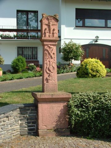
Kreuz an den drei Eichen
Fortresses and Bunkers
Westwall - Maschinengewehr-Schartenstand
 300 m
Place Names / Local History
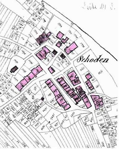
Gehöferschaft Schoden
 300 m
Place Names / Local History
Ortsname / Ortsgeschichte
 300 m
Educational Trails
Geologisch-naturkundlicher Lehrpfad
 320 m
Farmhouses and Farm Buildings