Settlements · Celtic / Roman Period
Römische Siedlung

Description
This description is only available in German.
Translate with Google opens this page in Google Translate (external service)
Eine Siedlung lag anscheinend an dem Südhang, auf dem jetzt Kirche und Schloss stehen. [1]
Classification
- Subject area
- Archaeological Monuments
- Category
- Settlements
- Object type
- Settlements
- Date
- Circa 500 vor Chr. bis circa 500 nach Chr.
- Period
- Celtic / Roman Period
Location
- District
- Bernkastel-Wittlich
- Collective municipality
- Wittlich-Land
- Municipality
- Dreis
- Field name
- Ortslage
- Coordinates
- WGS 84: 49.940197, 6.813826 (Position: presumed) WGS 84: 49° 56′ 24.7″ N, 6° 48′ 49.8″ E UTM 32 (ETRS89): E 343136 · N 5534273
Sources
Data sources
- [1] Ernst Wackenroder: Die Kunstdenkmäler der Rheinprovinz; Band Kreis Wittlich; Düsseldorf 1934.
On the internet
Picture credits
- Picture 1: © Lothar Monshausen, Fotostream http://www.flickr.com/photos/lomo56/tags/meteorite/
Last edited: 1 May 2002 Object ID: 4685
https://kulturdb.de/en/objekt/4685-dreis-roemische-siedlung
Nearby
The nearest objects
Extraction and Processing of Raw Materials
Römische Ziegelei
Farmhouses and Farm Buildings
Wohnhaus
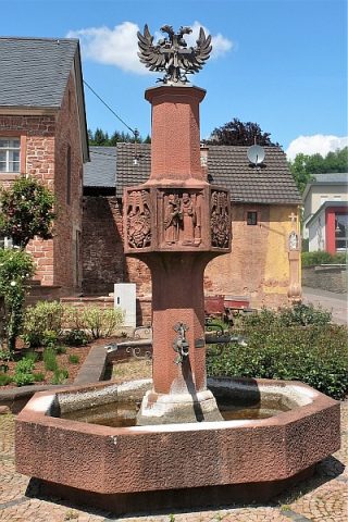 70 m
Works of Art
Dorfbrunnen
Execution Sites
Ehemaliger Pranger vor dem Scheerenhaus
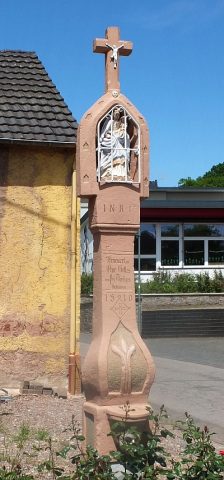 80 m
Wayside Shrines and Stations of the Cross
Prangerkreuz
Farmhouses and Farm Buildings
Türeinfassung
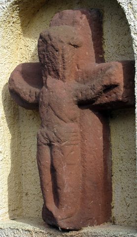 90 m
Execution Sites
Galgenkreuz
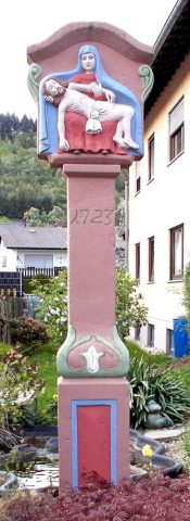 120 m
Wayside Shrines and Stations of the Cross