Settlements · Prehistory / Early History
Steinzeitliche Siedlung (3)


© GeoBasis-DE / LVermGeoRP, dl-de/by-2-0
There is no picture of this object yet. Do you have a photo that you would like to make available to the Kulturdatenbank? Submit a picture
Description
This description is only available in German.
Translate with Google opens this page in Google Translate (external service)
600 Meter südwestlich der Kapelle auf der Flur Wertesbüsch.
Mehrere steinzeitliche Siedlungen sind bei Schwarzenborn auf Grund von reichlichen Steingerätfunden anzunehmen.
Classification
- Subject area
- Archaeological Monuments
- Category
- Settlements
- Object type
- Settlements
- Date
- Bis circa 500 vor Chr.
Location
- District
- Bernkastel-Wittlich
- Collective municipality
- Wittlich-Land
- Municipality
- Schwarzenborn
- Field name
- Steinigenberg
- Coordinates
- WGS 84: 50.034769, 6.705589 (Position: presumed) WGS 84: 50° 02′ 05.2″ N, 6° 42′ 20.1″ E UTM 32 (ETRS89): E 335693 · N 5545019
Sources
Data sources
- Ernst Wackenroder: Die Kunstdenkmäler der Rheinprovinz; Band Kreis Wittlich; Düsseldorf 1934.
On the internet
Last edited: 1 May 2002 Object ID: 4690
https://kulturdb.de/en/objekt/4690-schwarzenborn-steinzeitliche-siedlung-3
Nearby
The nearest objects
Field Names
Unter den Kalköfen
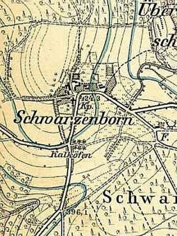 470 m
Lime Kilns
Ehemalige Kalköfen
Field Names
Hinter dem Bohnenpesch
Surveying
Trigonometrisches Signal
Wayside Shrines and Stations of the Cross
Ehemaliges Wegekreuz
 600 m
Catholic Churches
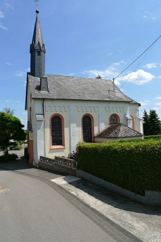
Sankt Martin
 600 m
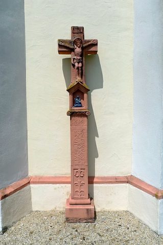
Wayside Shrines and Stations of the Cross
Nischenkreuz an der Kapelle
Field Names