Settlements · Celtic / Roman Period
Reste einer römischen Villa (1)


© GeoBasis-DE / LVermGeoRP, dl-de/by-2-0
There is no picture of this object yet. Do you have a photo that you would like to make available to the Kulturdatenbank? Submit a picture
Description
This description is only available in German.
Translate with Google opens this page in Google Translate (external service)
Bei Haus Dierfeld ermittelte der Besitzer Major von Greve-Dierfeld im Jahre 1914 Reste einer römischen Villa. Unter anderem wurden dort zwei quadratische Bauwerke (5,9 x 5,6m) festgestellt. Die Villa lag wie das heutige Gutshaus auf der zweiten von drei Terassen, denen auf der Südseite ein Tal nebst Weiher vorgelagert ist.
Classification
- Subject area
- Archaeological Monuments
- Category
- Settlements
- Object type
- Settlements
- Date
- Circa 500 vor Chr. bis circa 500 nach Chr.
- Period
- Celtic / Roman Period
Location
- District
- Bernkastel-Wittlich
- Collective municipality
- Wittlich-Land
- Municipality
- Dierfeld
- Field name
- Hinterm Altengarten
- Coordinates
- WGS 84: 50.084095, 6.890470 (Position: exact) WGS 84: 50° 05′ 02.7″ N, 6° 53′ 25.7″ E UTM 32 (ETRS89): E 349086 · N 5550112
Sources
Data sources
- Ernst Wackenroder: Die Kunstdenkmäler der Rheinprovinz; Band Kreis Wittlich; Düsseldorf 1934.
On the internet
Last edited: 1 May 2002 Object ID: 4693
https://kulturdb.de/en/objekt/4693-dierfeld-reste-einer-roemischen-villa-1
Nearby
The nearest objects
Settlements
Reste einer römischen Villa (2)
Place Names / Local History
Erste urkundliche Erwähnung
Museums
Gemäldesammlung
 90 m
Farmhouses and Farm Buildings
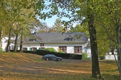
Haus Dierfeld
 100 m
Chapels
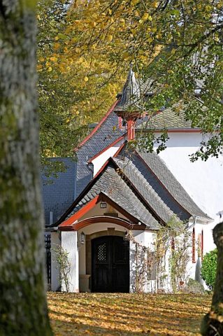
Kapelle am Haus Dierfeld
Wayside Shrines and Stations of the Cross
Hölzernes Kruzifix
Christian Cemeteries
Friedhof der Familie von Hohenastenberg
Field Names