Extraction and Processing of Raw Materials · 20th Century
Ehemaliger Steinbruch


© GeoBasis-DE / LVermGeoRP, dl-de/by-2-0
There is no picture of this object yet. Do you have a photo that you would like to make available to the Kulturdatenbank? Submit a picture
Classification
- Subject area
- Architectural and Art Monuments
- Category
- Economy, Trade and Transport
- Object type
- Extraction and Processing of Raw Materials
- Date
- 1951
- Period
- 20th Century
Location
- District
- Vulkaneifel
- Collective municipality
- Kelberg
- Municipality
- Mannebach (Vulkaneifel)
- Locality / location
- Mannebach
- Field name
- Im Holzberg
- Coordinates
- WGS 84: 50.296440, 6.975370 (Position: exact) WGS 84: 50° 17′ 47.2″ N, 6° 58′ 31.3″ E UTM 32 (ETRS89): E 355800 · N 5573552
Sources
Data sources
- [1] TK25 Kelberg. Reichsamt für Landesaufnahme (Deutschland / Army Map Service, Corps of Engineers
- (USA) / War Office (Großbritannien) / Service Géographique des F.F.A. (Frankreich), 1951.
On the internet
Last edited: 8 Feb 2018 Object ID: 46983
https://kulturdb.de/en/objekt/46983-mannebach-vulkaneifel-ehemaliger-steinbruch
Nearby
The nearest objects
No picture
110 m
Field Names
Sellrech
No picture
660 m
Field Names
In Langenstruth
No picture
720 m
Burial Mounds
Grabhügelnekropole
No picture
780 m
Field Names
Im Mellenrott
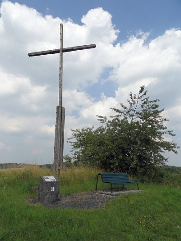 1.0 km
Wayside Shrines and Stations of the Cross
Kreuz auf dem Gaisberg
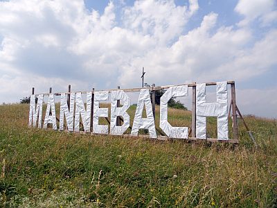 1.0 km
Viewpoints
Aussichtspunkt auf dem Gaisberg
No picture
1.1 km
Burial Mounds
Grabhügel
No picture
1.3 km
Field Names