Extraction and Processing of Raw Materials · 20th Century
Ehemaliger Steinbruch


© GeoBasis-DE / LVermGeoRP, dl-de/by-2-0
There is no picture of this object yet. Do you have a photo that you would like to make available to the Kulturdatenbank? Submit a picture
Classification
- Subject area
- Architectural and Art Monuments
- Category
- Economy, Trade and Transport
- Object type
- Extraction and Processing of Raw Materials
- Date
- 1951
- Period
- 20th Century
Location
- District
- Vulkaneifel
- Collective municipality
- Daun
- Municipality
- Üdersdorf
- Street
- Löhstraße
- Field name
- Ortslage
- Coordinates
- WGS 84: 50.156610, 6.806730 (Position: exact) WGS 84: 50° 09′ 23.8″ N, 6° 48′ 24.2″ E UTM 32 (ETRS89): E 343333 · N 5558346
Sources
Data sources
- [1] TK25 Daun. Reichsamt für Landesaufnahme (Deutschland / Army Map Service, Corps of
- Engineers (USA) / War Office (Großbritannien) / Service Géographique des F.F.A. (Frankreich), 1951.
On the internet
Last edited: 8 Feb 2018 Object ID: 47004
https://kulturdb.de/en/objekt/47004-uedersdorf-ehemaliger-steinbruch
Nearby
The nearest objects
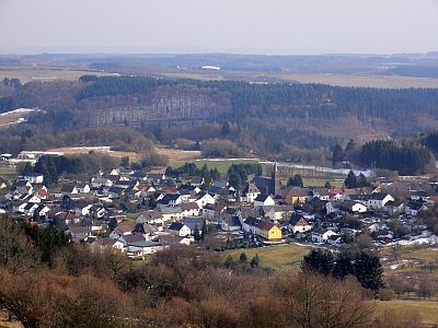 290 m
Place Names / Local History
Erste Erwähnung als Oistersdorf
No picture
350 m
Volcanoes
Vulkan Löhley (Liley)
No picture
350 m
Extraction and Processing of Raw Materials
Mühlsteinbruch Liley mit Lühwald
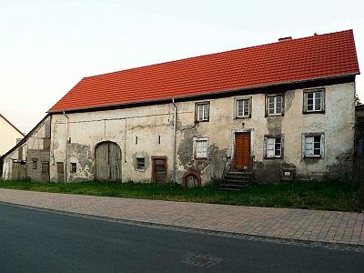 360 m
Farmhouses and Farm Buildings
Trierer Haus
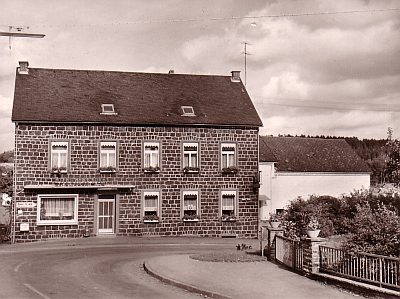 450 m
Catering, Inns and Hotels
Gasthaus Hubert-Krischel
No picture
460 m
Farmhouses and Farm Buildings
Trierer Haus
No picture
460 m
Viewpoints
Aussichtspunkt Löhley
 480 m
Rocks