Street Names · Historicism / Art Nouveau
Kaiserstraße

Description
This description is only available in German.
Translate with Google opens this page in Google Translate (external service)
Kaiserstraße – Benannt nach dem am Ende der Straße am Moselufer auf hohem Pfeiler stehenden Kaiser Konstantin im Jahre 1876 bei Anlegung der Straße. [1]
Classification
- Subject area
- History
- Category
- Place Names / Local History
- Object type
- Street Names
- Date
- 1876
Location
- District
- City of Trier
- Collective municipality
- Verbandsfreie Gemeinde Trier
- Town
- Trier
- Locality / location
- Mitte-Gartenfeld
- Street
- Kaiserstraße
- Field name
- Ortslage
- Coordinates
- WGS 84: 49.749390, 6.640640 (Position: exact) WGS 84: 49° 44′ 57.8″ N, 6° 38′ 26.3″ E UTM 32 (ETRS89): E 330042 · N 5513439
Sources
Data sources
- [1] Einwohnerbuch der Stadt Trier 1921-22. Verlag der Fr. Lintz'schen Buchhandlung, Trier, Brodstr. 22. https://www.dilibri.de/ubtr/periodical/titleinfo/1252445
On the internet
de.wikipedia.org/wiki/Trier-Mitte/Gartenfeld
Picture credits
- Picture 1: © Dr. Marcus Schneider, Trier, 2023.
Last edited: 23 Feb 2023 Object ID: 47841
https://kulturdb.de/en/objekt/47841-trier-kaiserstrasse
Nearby
The nearest objects
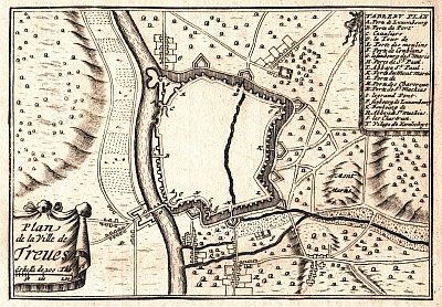 20 m
Town Fortifications
Ehem. Turm der mittelalterl. Stadtmauer - Nr. 28
Extraction and Processing of Raw Materials
Ehemalige Gerberei
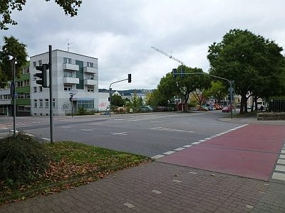 40 m
Town Fortifications
Ehemaliges Webertor
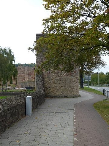 50 m
Town Fortifications
Turm der mittelalterlichen Stadtmauer - Nr. 27
Street Names
Engelsberg
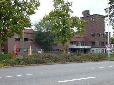 60 m
Recreation and Sports Facilities
Stadtbad
 90 m
Mills
Ehemalige Agnetenmühle
 90 m
Street Names