Extraction and Processing of Raw Materials · Historicism / Art Nouveau
Ehemalige Gerberei


© GeoBasis-DE / LVermGeoRP, dl-de/by-2-0
There is no picture of this object yet. Do you have a photo that you would like to make available to the Kulturdatenbank? Submit a picture
Classification
- Subject area
- Architectural and Art Monuments
- Category
- Economy, Trade and Transport
- Object type
- Extraction and Processing of Raw Materials
- Date
- Um 1915
Location
- District
- City of Trier
- Collective municipality
- Verbandsfreie Gemeinde Trier
- Town
- Trier
- Locality / location
- Mitte-Gartenfeld
- Street
- Ecke Weberbach / Kaiserstraße
- Field name
- Ortslage
- Coordinates
- WGS 84: 49.749620, 6.640830 (Position: exact) WGS 84: 49° 44′ 58.6″ N, 6° 38′ 27.0″ E UTM 32 (ETRS89): E 330057 · N 5513464
Sources
Data sources
- Kurtrierisches Jahrbuch 2015.
On the internet
Last edited: 12 Dec 2014 Object ID: 35688
https://kulturdb.de/en/objekt/35688-trier-ehemalige-gerberei
Nearby
The nearest objects
 20 m
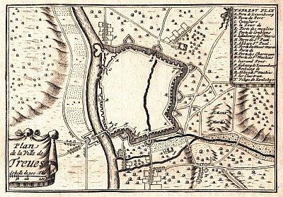
Town Fortifications
Ehem. Turm der mittelalterl. Stadtmauer - Nr. 28
 30 m
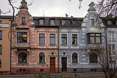
Street Names
Kaiserstraße
No picture
40 m
Street Names
Engelsberg
 40 m
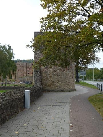
Town Fortifications
Turm der mittelalterlichen Stadtmauer - Nr. 27
No picture
50 m
Deserted Settlements
Vetus castrum
 60 m
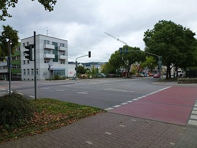
Town Fortifications
Ehemaliges Webertor
 60 m
Catholic Churches
Kirche Sankt Gervasius
 70 m
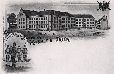
Barracks