Field Names · 20th Century
Müllersfeld

Description
This description is only available in German.
Translate with Google opens this page in Google Translate (external service)
Ein Grundbuchauszug von 1956 belegt hier das Gewann Müllersfeld. [1]
Classification
- Subject area
- History
- Category
- Field Names
- Date
- 1956
- Period
- 20th Century
Location
- District
- Trier-Saarburg
- Collective municipality
- Trier-Land
- Municipality
- Kordel
- Street
- Ehranger Straße 2
- Field name
- Vorn auf dem Dalien
- Coordinates
- WGS 84: 49.837890, 6.635870 (Position: exact) WGS 84: 49° 50′ 16.4″ N, 6° 38′ 09.1″ E UTM 32 (ETRS89): E 330009 · N 5523288
Sources
Data sources
- [1] Mona Idems, Kordel, 2018.
On the internet
Picture credits
- Picture 1: © Peter Valerius, Kordel, 2018.
Last edited: 10 Sep 2018 Object ID: 47908
https://kulturdb.de/en/objekt/47908-kordel-muellersfeld
Nearby
The nearest objects
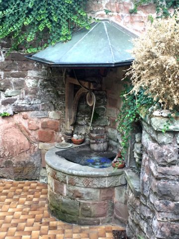 less than 10 m
Works of Art
Dalienborn
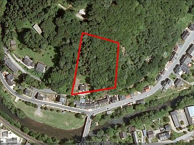 50 m
Vineyard Sites
Ehemaliger Weinanbau auf dem Dalien
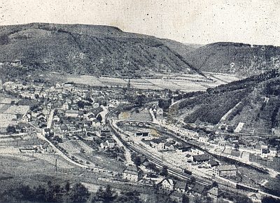 70 m
Road Transport
Zerstörte Brücke über die Kyll
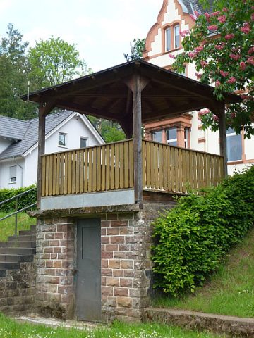 70 m
Viewpoints
Aussichtspunkt am Borberg
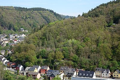 80 m
Field Names
Vorn auf dem Dalien
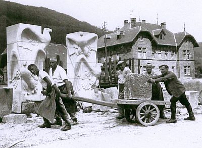 100 m
Extraction and Processing of Raw Materials
Ehemaliger Steinmetzbetrieb Schaffner
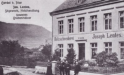 110 m
Mills
Ehemalige Sägemühle Wittke und Gothe
 120 m
Washing Places