Vineyard Sites · Historicism / Art Nouveau
Ehemaliger Weinanbau auf dem Dalien

Description
This description is only available in German.
Translate with Google opens this page in Google Translate (external service)
Cordel im Kylltal. Buntsandstein. Weinbergsfläche 0,60 Hektar. Jahresertrag 1 Hektoliter. [1]
Classification
- Subject area
- History
- Category
- Vineyard Sites
- Date
- 1914
Location
- District
- Trier-Saarburg
- Collective municipality
- Trier-Land
- Municipality
- Kordel
- Street
- Auf dem Dalien
- Field name
- Vorn auf dem Dalien
- Coordinates
- WGS 84: 49.838061, 6.636579 (Position: exact) WGS 84: 49° 50′ 17.0″ N, 6° 38′ 11.7″ E UTM 32 (ETRS89): E 330060 · N 5523305
Sources
Data sources
- [1] F.W. Koch und Heinr. Stephanus: Die Weine im Gebiete der Mosel und Saar. Verlag von Heinr. Stephanus. Trier, 1914, S. 57. https://www.dilibri.de/rlb/content/titleinfo/1178438?query=Die%20We….
On the internet
Picture credits
- Picture 1: Google Earth
Last edited: 27 Jan 2014 Object ID: 28501
https://kulturdb.de/en/objekt/28501-kordel-ehemaliger-weinanbau-auf-dem-dalien
Nearby
The nearest objects
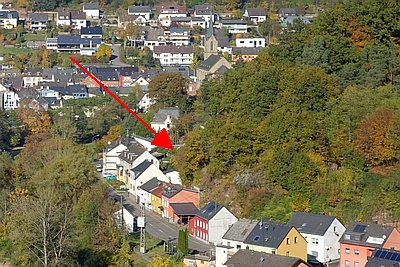 50 m
Field Names
Müllersfeld
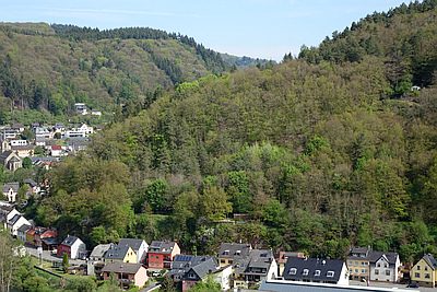 60 m
Field Names
Vorn auf dem Dalien
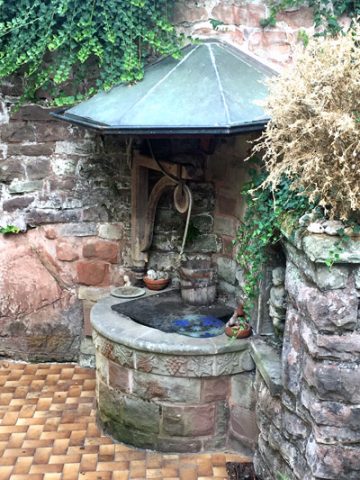 60 m
Works of Art
Dalienborn
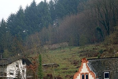 60 m
Field Names
Im Borberg
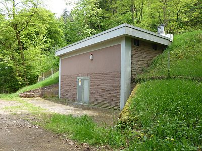 90 m
Water Supply
Wasserhochbehälter
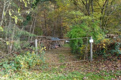 90 m
Extraction and Processing of Raw Materials
Ehemalige Sandgrube Kaiser
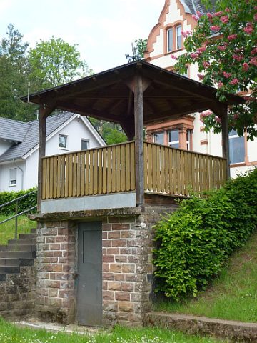 100 m
Viewpoints
Aussichtspunkt am Borberg
 140 m
Washing Places