Water Supply · Undated
Wasserhochbehälter


Classification
- Subject area
- Architectural and Art Monuments
- Category
- Water Supply
- Date
- Undatiert
- Period
- Undated
Location
- District
- Trier-Saarburg
- Collective municipality
- Trier-Land
- Municipality
- Kordel
- Field name
- Im Borberg
- Coordinates
- WGS 84: 49.838440, 6.637720 (Position: exact) WGS 84: 49° 50′ 18.4″ N, 6° 38′ 15.8″ E UTM 32 (ETRS89): E 330144 · N 5523345
Sources
Data sources
- [1] Peter Valerius, Kordel, 2015.
On the internet
Picture credits
Last edited: 13 Jun 2015 Object ID: 39101
https://kulturdb.de/en/objekt/39101-kordel-wasserhochbehaelter
Nearby
The nearest objects
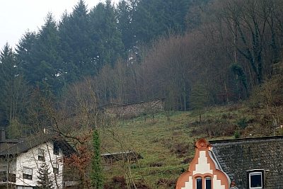 50 m
Field Names
Im Borberg
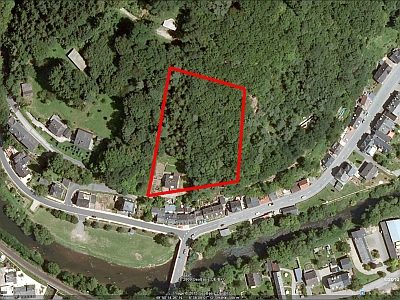 90 m
Vineyard Sites
Ehemaliger Weinanbau auf dem Dalien
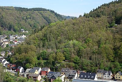 110 m
Field Names
Vorn auf dem Dalien
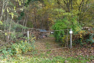 120 m
Extraction and Processing of Raw Materials
Ehemalige Sandgrube Kaiser
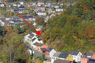 150 m
Field Names
Müllersfeld
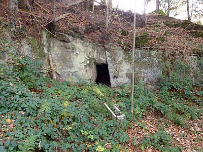 150 m
Fortresses and Bunkers
Felsenhöhle im Borberg als Bunker
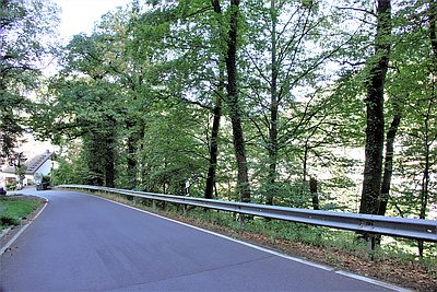 170 m
Field Names
Über der Kyll
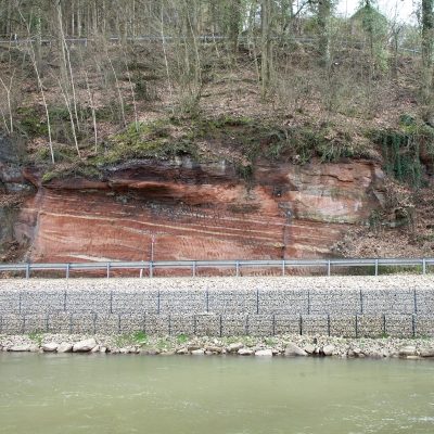 170 m
Geological Features